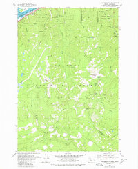
1979 Map of Tanner Butte
USGS Topo · Published 1980About this map
John B Yeon State Park and the surrounding wilderness of the Mt Hood National Forest define this 1970s landscape along the Oregon-Washington border. The terrain is marked by a high density of named waterfalls and peaks, including Elowah Falls, Wahe Falls, and the prominent Tanner Butte. The northern edge follows the Columbia River, where the Union Pacific railroad parallels the shore near Pierce Island and Ives Island.
Find a feature on this map
46 named features on this map. Tap any name to fly to it.
Don’t see what you’re looking for? This feature index may not catch every label — zoom into the map to look around manually.
Map Details
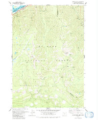
Editions of this 1979 Tanner Butte Map
2 editions found
Other maps of this area

1916 · Estacada
USGS Topo · 1:125,000

1924 · Mount Hood
USGS Topo · 1:125,000

1926 · Hood River
USGS Topo · 1:125,000

1927 · Mount Hood
USGS Topo · 1:125,000

1929 · Hood River
USGS Topo · 1:125,000

1948 · Vancouver
USGS Topo · 1:250,000

1950 · Vancouver
USGS Topo · 1:250,000

1950 · Vancouver
USGS Topo · 1:250,000

1953 · The Dalles
USGS Topo · 1:250,000

1954 · Bridal Veil
USGS Topo · 1:62,500