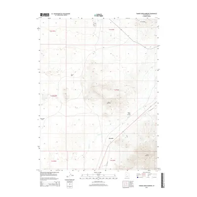
2014 Map of Tanner Creek Narrows
USGS Topo · Published 2014About this map
Champlin sits at a crossroads of arid terrain and transportation history in this Juab County landscape. The settlement is positioned near the junction of Old Highway 50 and Coal Rd, providing a clear view of the regional road network as it existed in the early 21st century. The geography is dominated by striking geological features, most notably the Tanner Creek Narrows where Tanner Cr cuts through the high ground between the Black Mountains and the northern reaches of the Gilson Mountains.
Find a feature on this map
17 named features on this map. Tap any name to fly to it.
Don’t see what you’re looking for? This feature index may not catch every label — zoom into the map to look around manually.
Map Details
Editions of this 2014 Tanner Creek Narrows Map
This is the sole edition of this map. No revisions or reprints were ever made.
Other maps of this area

1885 · Sevier Desert
USGS Topo · 1:250,000

1953 · Delta
USGS Topo · 1:250,000
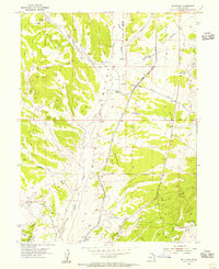
1954 · Mc Intyre
USGS Topo · 1:24,000

1958 · Delta
USGS Topo · 1:250,000

1962 · Delta
USGS Topo · 1:250,000
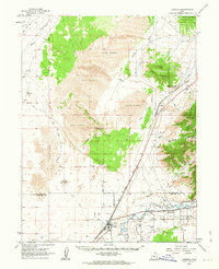
1962 · Lynndyl
USGS Topo · 1:62,500
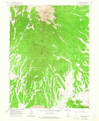
1963 · Maple Peak
USGS Topo · 1:24,000
1963 · Cherry Creek
USGS Topo · 1:24,000
1967 · Champlin Peak
USGS Topo · 1:24,000
1967 · Jericho
USGS Topo · 1:24,000