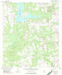
1957 Map of Tanner Williams
USGS Topo · Published 1983About this map
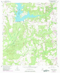
Big Creek Lake dominates the upper half of this Mobile County landscape, its expansive waters fed by a network of local streams including Big Creek and Hamilton Creek. The community of Tanner Williams serves as a western anchor, surrounded by family landmarks such as Dees Cem, Williams Cem, and Tanner Cem that reflect deep generational ties to the land. Moving south toward the settlement of Seven Hills, the terrain transitions into a more developed infrastructure marked by the Pipeline Aqueduct and Government Street. This 1957 record, later updated with 1980s aerial data, provides a clear view of the area's rural character before the expansion of the Mobile suburbs, preserving the locations of country institutions like Pierce Ch, Foster Grove Ch, and the Baker Sch.
Find a feature on this map
35 named features on this map. Tap any name to fly to it.
Don’t see what you’re looking for? This feature index may not catch every label — zoom into the map to look around manually.
Map Details
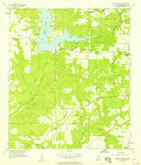
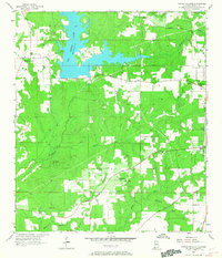
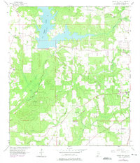
Editions of this 1957 Tanner Williams Map
5 editions found
Other maps of this area

1922 · Mobile
USGS Topo · 1:62,500

1940 · Mobile
USGS Topo · 1:62,500

1941 · Hurley
USGS Topo · 1:62,500

1941 · Creola
USGS Topo · 1:62,500

1942 · Kushla
USGS Topo · 1:31,680

1942 · Theodore
USGS Topo · 1:31,680

1942 · Wilmer
USGS Topo · 1:62,500

1943 · Theodore
USGS Topo · 1:31,680

1943 · Creola
USGS Topo · 1:62,500

1943 · Hurley
USGS Topo · 1:62,500