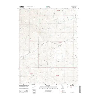
2015 Map of Tar Bully
USGS Topo · Published 2015About this map
Tar Bully sits within a complex network of canyons and gulches in southwestern Shasta County, where the hydrology is defined by the Roaring River and the N Fork Cottonwood Cr. The landscape is heavily influenced by water management and access, evidenced by the Happy Valley Irrigation Canal and a grid of specialized roads such as Gold Diggers Rd and Bully Choop Rd. The terrain is marked by numerous named drainages, including Watson Gulch, Aiken Gulch, and Poverty Gulch, which suggest the area's prospecting and ranching heritage. Local movement through this varied topography relies on routes like Platina Rd and Straight Arrow Rd, connecting remote points like Wiley Flat Gulch and Sunny Hill. This survey captures the rural character and essential water infrastructure of the region during the early 21st century.
Find a feature on this map
46 named features on this map. Tap any name to fly to it.
Don’t see what you’re looking for? This feature index may not catch every label — zoom into the map to look around manually.
Map Details
Editions of this 2015 Tar Bully Map
This is the sole edition of this map. No revisions or reprints were ever made.
Other maps of this area
1890 · Red Bluff
USGS Topo · 1:250,000
1894 · Red Bluff
USGS Topo · 1:250,000
1913 · Weaverville
USGS Topo · 1:125,000
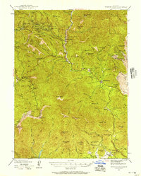
1944 · French Gulch
USGS Topo · 1:62,500
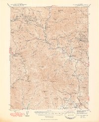
1948 · French Gulch
USGS Topo · 1:62,500
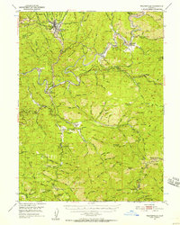
1950 · Weaverville
USGS Topo · 1:62,500
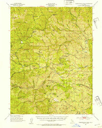
1951 · Chanchelulla Peak
USGS Topo · 1:62,500
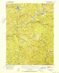
1952 · Weaverville
USGS Topo · 1:62,500
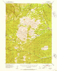
1952 · Ono
USGS Topo · 1:62,500
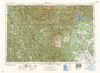
1958 · Redding
USGS Topo · 1:250,000