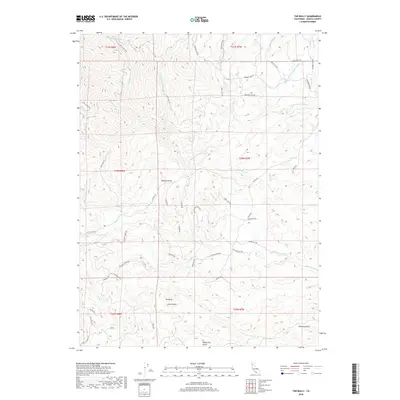
2018 Map of Tar Bully
USGS Topo · Published 2018About this map
The settlement of Tar Bully anchors this high-elevation landscape in Shasta County, where a complex network of canyons and gulches directs water toward the Roaring River. The terrain is deeply incised by drainages such as Watson Gulch, Aiken Gulch, and Poverty Gulch, reflecting the region's hydraulic history and rugged topography. Human activity is marked by a winding road network including Gold Diggers Rd and Leo's Lookout Rd, which navigate the steep ridges between Jerusalem Creek and the N Fork Cottonwood Cr.
Find a feature on this map
54 named features on this map. Tap any name to fly to it.
Don’t see what you’re looking for? This feature index may not catch every label — zoom into the map to look around manually.
Map Details
Editions of this 2018 Tar Bully Map
This is the sole edition of this map. No revisions or reprints were ever made.
Other maps of this area
1890 · Red Bluff
USGS Topo · 1:250,000
1894 · Red Bluff
USGS Topo · 1:250,000
1913 · Weaverville
USGS Topo · 1:125,000
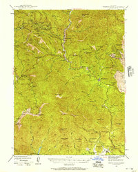
1944 · French Gulch
USGS Topo · 1:62,500
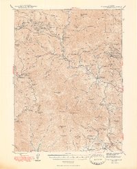
1948 · French Gulch
USGS Topo · 1:62,500
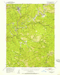
1950 · Weaverville
USGS Topo · 1:62,500
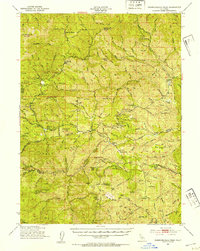
1951 · Chanchelulla Peak
USGS Topo · 1:62,500
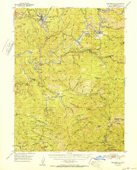
1952 · Weaverville
USGS Topo · 1:62,500
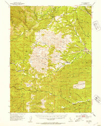
1952 · Ono
USGS Topo · 1:62,500
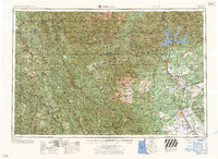
1958 · Redding
USGS Topo · 1:250,000