
1964 Map of Targhee Pass
USGS Topo · Published 1966About this map
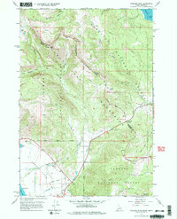
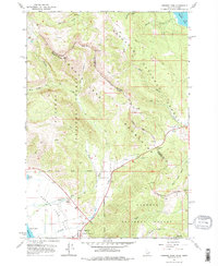
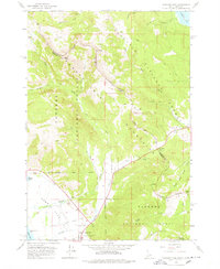
The Continental Divide carves through the high country where the Henrys Lake Mountains straddle the state line between Idaho and Montana. This mid-1960s survey captures a landscape of intense relief and seasonal activity, anchored by the critical crossing at Targhee Pass. On the western slopes, the drainage of West Targhee Creek and its Dry Fork descend toward the flats of Henrys Lake, while the eastern terrain drops toward Hebgen Lake. Human presence is marked by a network of trails and jeep trails servicing remote peaks like Bald Peak and Mount Two Top. Significant local landmarks include the Targhee Cem and the Howard Spring Wayside, while a ski lift near Lionhead indicates the mid-century development of alpine recreation in the Gallatin and Targhee National Forests.
Find a feature on this map
42 named features on this map. Tap any name to fly to it.
Don’t see what you’re looking for? This feature index may not catch every label — zoom into the map to look around manually.
Map Details
Editions of this 1964 Targhee Pass Map
4 editions found
Other maps of this area

1950 · Hebgen Dam
USGS Topo · 1:62,500

1955 · Ashton
USGS Topo · 1:250,000

1958 · Ashton
USGS Topo · 1:250,000

1958 · West Yellowstone
USGS Topo · 1:62,500
1958 · Tepee Creek
USGS Topo · 1:62,500

1960 · Ashton
USGS Topo · 1:250,000

1964 · Targhee Peak
USGS Topo · 1:24,000

1964 · Sawtell PK
USGS Topo · 1:24,000

1964 · Big Springs
USGS Topo · 1:24,000

1964 · Henrys Lake
USGS Topo · 1:62,500