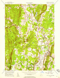
1956 Map of Tariffville
USGS Topo · Published 1958About this map
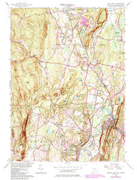
The Farmington River winds through the eastern lowlands of this mid-century Hartford County landscape, where the industrial and transport history of Tariffville and Simsbury is clearly visible. The New Haven and Hartford Railroad cuts a prominent path through the corridor, serving points like Granby Station and Floydville. This period shows a community balanced between its colonial roots and mid-century utility, evidenced by a dense network of early burial grounds like Baptist Cem and Pratt Cem alongside the modern Simsbury Landing Field.
Find a feature on this map
75 named features on this map. Tap any name to fly to it.
Don’t see what you’re looking for? This feature index may not catch every label — zoom into the map to look around manually.
Map Details
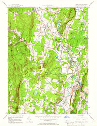
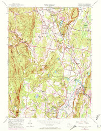
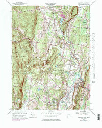
Editions of this 1956 Tariffville Map
6 editions found
Other maps of this area

1886 · Springfield
USGS Topo · 1:62,500

1887 · Granville
USGS Topo · 1:62,500

1889 · Springfield
USGS Topo · 1:62,500

1889 · Granville
USGS Topo · 1:62,500

1892 · Hartford
USGS Topo · 1:62,500

1892 · Granby
USGS Topo · 1:62,500

1893 · Springfield
USGS Topo · 1:62,500

1893 · Granville
USGS Topo · 1:62,500

1895 · Springfield
USGS Topo · 1:62,500

1895 · Granville
USGS Topo · 1:62,500