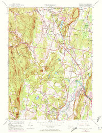
1956 Map of Tariffville
USGS Topo · Published 1972About this map
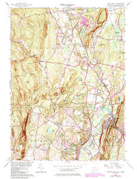
The Farmington River cuts a distinctive path through this mid-century landscape, anchoring the village of Tariffville and defining the local topography between the Barn Door Hills and Talcott Mountain. This 1956 survey, with 1970 revisions, documents the residential and educational growth in Granby and Simsbury, seen in the development around Wells Rd Sch and the Jr High Sch. The region's history is written in its small clusters and family-named landmarks, from the rural settlement at Firetown to the Swedish Pilgrim Ch and several small burial grounds like Pratt Cem and Cooley Cem.
Find a feature on this map
120 named features on this map. Tap any name to fly to it.
Don’t see what you’re looking for? This feature index may not catch every label — zoom into the map to look around manually.
Map Details
Editions of this 1956 Tariffville Map
6 editions found
Other maps of this area

1886 · Springfield
USGS Topo · 1:62,500

1887 · Granville
USGS Topo · 1:62,500

1889 · Springfield
USGS Topo · 1:62,500

1889 · Granville
USGS Topo · 1:62,500

1892 · Hartford
USGS Topo · 1:62,500

1892 · Granby
USGS Topo · 1:62,500

1893 · Springfield
USGS Topo · 1:62,500

1893 · Granville
USGS Topo · 1:62,500

1895 · Springfield
USGS Topo · 1:62,500

1895 · Granville
USGS Topo · 1:62,500