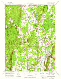
1956 Map of Tariffville
USGS Topo · Published 1966About this map
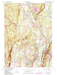
Manitook Lake and the dramatic relief of Manitock Mountain dominate this mid-century portrait of the Farmington Valley. The landscape reveals a transition from the agricultural heritage of Granby and Simsbury toward mid-century development, evidenced by the Simsbury Landing Field and the sprawling Mc Lean Game Refuge. Small crossroads settlements like North Granby, West Granby, and Five Points retain their distinct character, while the industrial legacy of the region is marked by a Quarry near the northern border and the New York New Haven and Hartford railroad line.
Find a feature on this map
103 named features on this map. Tap any name to fly to it.
Don’t see what you’re looking for? This feature index may not catch every label — zoom into the map to look around manually.
Map Details
Editions of this 1956 Tariffville Map
6 editions found
Other maps of this area

1886 · Springfield
USGS Topo · 1:62,500

1887 · Granville
USGS Topo · 1:62,500

1889 · Springfield
USGS Topo · 1:62,500

1889 · Granville
USGS Topo · 1:62,500

1892 · Hartford
USGS Topo · 1:62,500

1892 · Granby
USGS Topo · 1:62,500

1893 · Springfield
USGS Topo · 1:62,500

1893 · Granville
USGS Topo · 1:62,500

1895 · Springfield
USGS Topo · 1:62,500

1895 · Granville
USGS Topo · 1:62,500