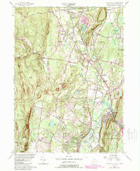
1956 Map of Tariffville
USGS Topo · Published 1988About this map
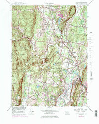
Salmon Brook and its branches carve through this Hartford County landscape, where the agricultural traditions of Simsbury and Granby meet industrial and transport evolution. In the mid-20th century, the area maintained a balance between preserved wilderness and village life, anchored by the massive McLean Game Refuge and the steep rise of Talcott Mtn. Cultural markers are dense throughout the quadrangle, from the Swedish Pilgrim Ch and Copper Hill Ch to several family burial grounds like the Cooley Cem and Pratt Cem. While the rail lines through Granby Station are noted as abandoned, the network of roads like Copper Hill Road and Terrys Plain Road continued to link scattered settlements such as Hoskins, Floydville, and Goodrichville. This survey also documents the transition of the Farmington River as it flows past Tariffville, highlighting the region's complex water management and topographic variety.
Find a feature on this map
81 named features on this map. Tap any name to fly to it.
Don’t see what you’re looking for? This feature index may not catch every label — zoom into the map to look around manually.
Map Details
Editions of this 1956 Tariffville Map
6 editions found
Other maps of this area

1886 · Springfield
USGS Topo · 1:62,500

1887 · Granville
USGS Topo · 1:62,500

1889 · Springfield
USGS Topo · 1:62,500

1889 · Granville
USGS Topo · 1:62,500

1892 · Hartford
USGS Topo · 1:62,500

1892 · Granby
USGS Topo · 1:62,500

1893 · Springfield
USGS Topo · 1:62,500

1893 · Granville
USGS Topo · 1:62,500

1895 · Springfield
USGS Topo · 1:62,500

1895 · Granville
USGS Topo · 1:62,500