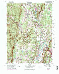
1956 Map of Tariffville
USGS Topo · Published 1979About this map
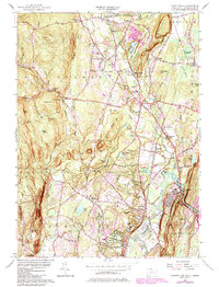
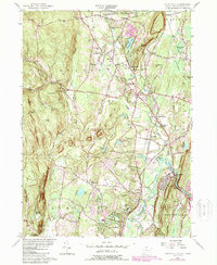
Tariffville and Simsbury occupy the southern valley floor where the Farmington River carves through the trap rock ridge at The Notch. This 1956 survey, updated with 1970 aerial data, captures the post-war transition of northern Hartford County as the Penn Central rail corridor and older rural hamlets like Floydville and Hoskins begin to interface with modern developments like the Simsbury Landing Field. The landscape is defined by the sharp verticality of Broad Hill and The Sugarloaf, which hem in the drainage basins of Salmon Brook and Bissell Brook.
Find a feature on this map
63 named features on this map. Tap any name to fly to it.
Don’t see what you’re looking for? This feature index may not catch every label — zoom into the map to look around manually.
Map Details
Editions of this 1956 Tariffville Map
6 editions found
Other maps of this area

1886 · Springfield
USGS Topo · 1:62,500

1887 · Granville
USGS Topo · 1:62,500

1889 · Springfield
USGS Topo · 1:62,500

1889 · Granville
USGS Topo · 1:62,500

1892 · Hartford
USGS Topo · 1:62,500

1892 · Granby
USGS Topo · 1:62,500

1893 · Springfield
USGS Topo · 1:62,500

1893 · Granville
USGS Topo · 1:62,500

1895 · Springfield
USGS Topo · 1:62,500

1895 · Granville
USGS Topo · 1:62,500