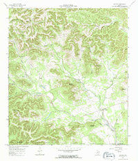
1964 Map of Tarpley
USGS Topo · Published 1968About this map
Tarpley serves as the primary hub of this Hill Country landscape, situated at the confluence of several vital watercourses including Hondo Creek and Williams Creek. The 1964 survey reveals a terrain defined by steep ridges and deep hollows, where family-named peaks such as Gunsight Mountain, Soto Mountain, and Iron Top Mountain dominate the horizon. The settlement patterns follow the drainages, with the Tarpley Cemetery and local landmarks like the Gravel Pit providing anchor points for historical research and genealogical study.
Find a feature on this map
38 named features on this map. Tap any name to fly to it.
Don’t see what you’re looking for? This feature index may not catch every label — zoom into the map to look around manually.
Map Details
Editions of this 1964 Tarpley Map
2 editions found
Other maps of this area

1954 · San Antonio
USGS Topo · 1:250,000

1956 · Tarpley
USGS Topo · 1:62,500

1956 · Tuff
USGS Topo · 1:62,500

1956 · Bandera
USGS Topo · 1:62,500

1956 · Center Point
USGS Topo · 1:62,500

1957 · San Antonio
USGS Topo · 1:250,000
1964 · Love Creek
USGS Topo · 1:24,000

1964 · Rock Cliff Reservoir
USGS Topo · 1:24,000
1964 · A Bar A Ranch
USGS Topo · 1:24,000
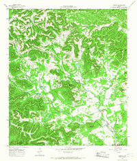
1964 · Tarpley
USGS Topo · 1:24,000