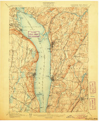
1902 Map of Tarrytown
USGS Topo · Published 1906About this map
Haverstraw Bay and the wide expanse of the Hudson River anchor this topographic survey, revealing the infrastructure of early 20th-century Westchester and Rockland Counties. The map documents the vital water systems serving New York City, including the New Croton Dam and both the Old Croton Aqueduct and New Croton Aqueduct snaking south through Ossining and Tarrytown. On the eastern bank, the State Prison stands prominently near the river, while across the water, the industrial footprint is marked by the Erie R. R. Docks and the rugged heights of High Tor.
Find a feature on this map
141 named features on this map. Tap any name to fly to it.
Don’t see what you’re looking for? This feature index may not catch every label — zoom into the map to look around manually.
Map Details
Editions of this 1902 Tarrytown Map
11 editions found

1902 edition
16.6 x 20.2 inches
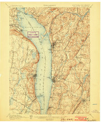
1903 edition
16.6 x 20.1 inches
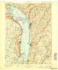
1905 edition
16.6 x 20.1 inches
1906 edition
16.6 x 20.1 inches
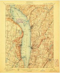
1907 edition
16.6 x 20.2 inches
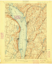
1908 edition
16.6 x 20.2 inches
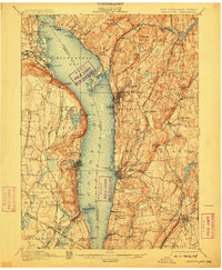
1910 edition
16.6 x 20.2 inches
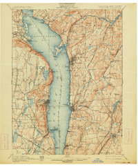
1914 edition
16.6 x 20.1 inches
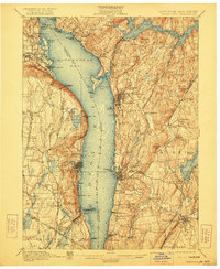
1922 edition
16.6 x 20.2 inches
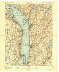
1928 edition
16.6 x 20.2 inches
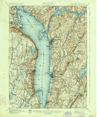
1934 edition
16.5 x 19.9 inches
Other maps of this area

1888 · Paterson
USGS Topo · 1:62,500

1891 · Ramapo
USGS Topo · 1:62,500

1891 · Harlem
USGS Topo · 1:62,500

1892 · Stamford
USGS Topo · 1:62,500

1892 · West Point
USGS Topo · 1:62,500

1892 · Carmel
USGS Topo · 1:62,500

1892 · Paterson
USGS Topo · 1:62,500

1892 · Tarrytown
USGS Topo · 1:62,500

1893 · Carmel
USGS Topo · 1:62,500

1893 · Stamford
USGS Topo · 1:62,500