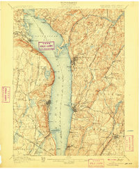
1902 Map of Tarrytown
USGS Topo · Published 1908About this map
Hudson River commerce and the expanding suburban rail network of Westchester and Rockland Counties dominate this early twentieth-century survey. The massive expanse of the Tappan Sea and Haverstraw Bay separates the high ridges of Hook Mt. and the Palisades on the west bank from the densely settled villages on the east. Significant industrial and public infrastructure is visible, from the State Prison at Ossining to the Erie R. R. Docks near Piermont Branch.
Find a feature on this map
145 named features on this map. Tap any name to fly to it.
Don’t see what you’re looking for? This feature index may not catch every label — zoom into the map to look around manually.
Map Details
Editions of this 1902 Tarrytown Map
11 editions found

1902 edition
16.6 x 20.2 inches
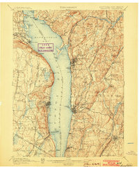
1903 edition
16.6 x 20.1 inches
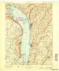
1905 edition
16.6 x 20.1 inches
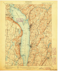
1906 edition
16.6 x 20.1 inches
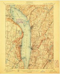
1907 edition
16.6 x 20.2 inches
1908 edition
16.6 x 20.2 inches
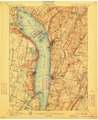
1910 edition
16.6 x 20.2 inches
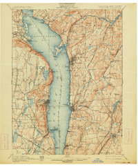
1914 edition
16.6 x 20.1 inches
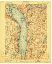
1922 edition
16.6 x 20.2 inches
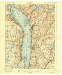
1928 edition
16.6 x 20.2 inches
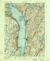
1934 edition
16.5 x 19.9 inches
Other maps of this area

1888 · Paterson
USGS Topo · 1:62,500

1891 · Ramapo
USGS Topo · 1:62,500

1891 · Harlem
USGS Topo · 1:62,500

1892 · Stamford
USGS Topo · 1:62,500

1892 · West Point
USGS Topo · 1:62,500

1892 · Carmel
USGS Topo · 1:62,500

1892 · Paterson
USGS Topo · 1:62,500

1892 · Tarrytown
USGS Topo · 1:62,500

1893 · Carmel
USGS Topo · 1:62,500

1893 · Stamford
USGS Topo · 1:62,500