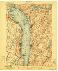
1902 Map of Tarrytown
USGS Topo · Published 1922About this map
Haverstraw Bay and the wide expanse of the Hudson River dominate this turn-of-the-century landscape, acting as a natural boundary between Westchester and Rockland counties. On the eastern shore, the infrastructure of the New York Central and Hudson River R. R. hugs the riverbank, connecting industrial and residential hubs like Ossining, where the State Prison sits prominently near the water. The map captures an era of significant hydro-engineering in Westchester County, most notably the development of the New Croton Reservoir and the Kensico Reservoir, which altered the local topography to serve the water needs of a growing metropolis. To the west, the steep heights of the Palisades, Hook Mt., and High Tor overlook a series of smaller landings and settlements like Tarrytown and North Tarrytown, situated near the legendary Sleepy Hollow. The rail-dominated river economy is evident in the Erie R. R. Docks and various landings like Sneden Landing that bridged the water and rail networks.
Find a feature on this map
115 named features on this map. Tap any name to fly to it.
Don’t see what you’re looking for? This feature index may not catch every label — zoom into the map to look around manually.
Map Details
Editions of this 1902 Tarrytown Map
11 editions found

1902 edition
16.6 x 20.2 inches
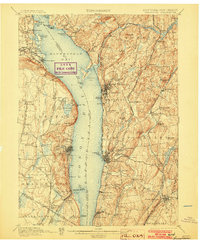
1903 edition
16.6 x 20.1 inches
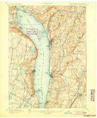
1905 edition
16.6 x 20.1 inches
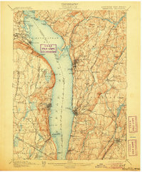
1906 edition
16.6 x 20.1 inches
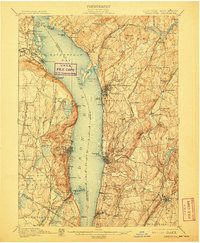
1907 edition
16.6 x 20.2 inches
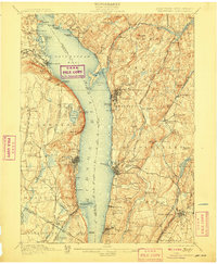
1908 edition
16.6 x 20.2 inches
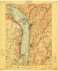
1910 edition
16.6 x 20.2 inches
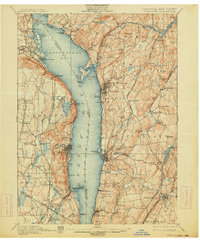
1914 edition
16.6 x 20.1 inches
1922 edition
16.6 x 20.2 inches
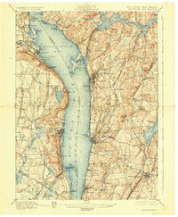
1928 edition
16.6 x 20.2 inches
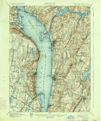
1934 edition
16.5 x 19.9 inches
Other maps of this area

1888 · Paterson
USGS Topo · 1:62,500

1891 · Ramapo
USGS Topo · 1:62,500

1891 · Harlem
USGS Topo · 1:62,500

1892 · Stamford
USGS Topo · 1:62,500

1892 · West Point
USGS Topo · 1:62,500

1892 · Carmel
USGS Topo · 1:62,500

1892 · Paterson
USGS Topo · 1:62,500

1892 · Tarrytown
USGS Topo · 1:62,500

1893 · Carmel
USGS Topo · 1:62,500

1893 · Stamford
USGS Topo · 1:62,500