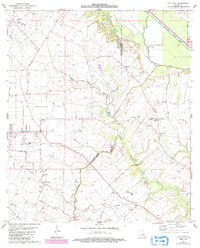
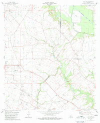
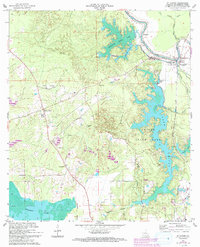
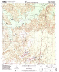
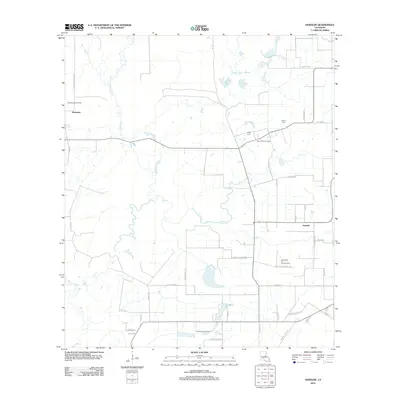
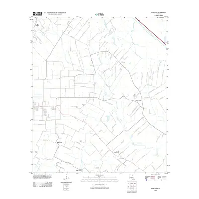
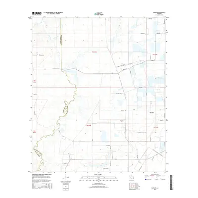
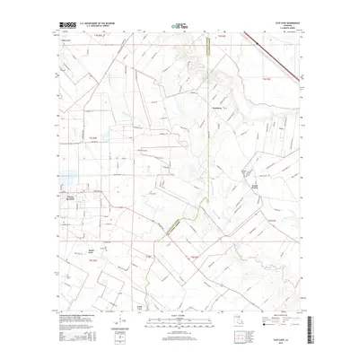
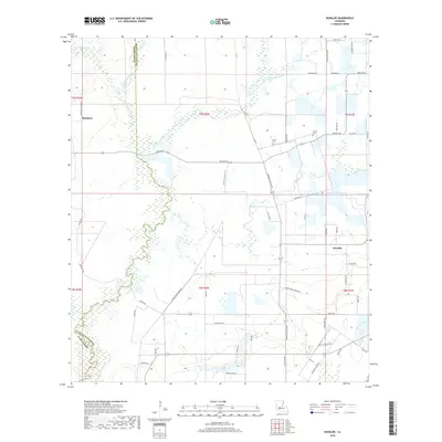
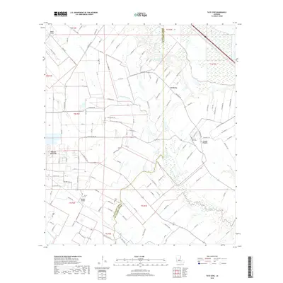
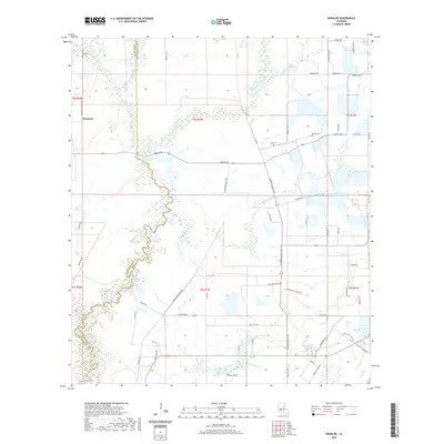
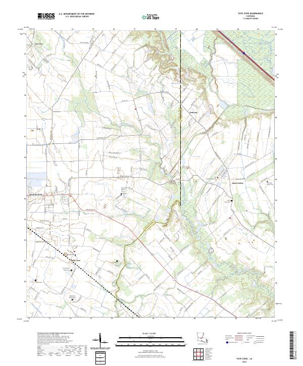
1983 Map of Tate Cove
USGS Topo · Published 1992About this map
Tate Cove and the surrounding prairies of South Louisiana are defined by a network of bayous and scattered rural settlements during the early 1980s. The landscape is carved by water, most notably the Bayou Boeuf-Cocodrid Diversion Channel and Bayou Cocodrie, which dictate the drainage and agricultural patterns across the Evangeline Parish and St. Landry Parish border. Small communities like Faubourg and Grand Prairie serve as local anchors, while the presence of family-named burial sites such as Soileaus Cem and Lafleur Cem points to deep-rooted genealogical history.
Find a feature on this map
27 named features on this map. Tap any name to fly to it.
Don’t see what you’re looking for? This feature index may not catch every label — zoom into the map to look around manually.
Map Details
Editions of this 1983 Tate Cove Map
2 editions found
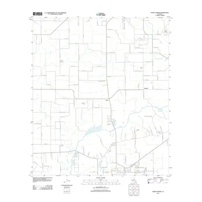
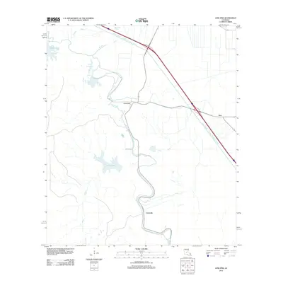
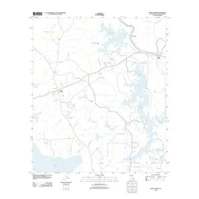
Historical Maps of Ville Platte Through Time
56 maps found

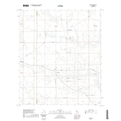
1935 Beaver
Evangeline Parish, LA

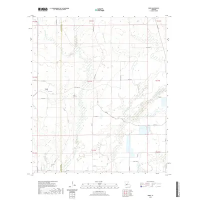
1947 Bond
Evangeline Parish, LA

1947 Fruge Lake
Evangeline Parish, LA

1947 Redland
Evangeline Parish, LA

1954 Beaver
Evangeline Parish, LA

1954 Fruge Lake
Evangeline Parish, LA
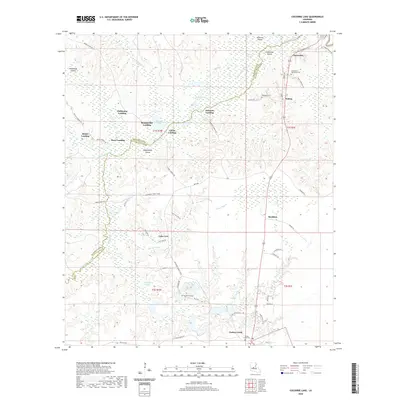
1967 Cocodrie Lake
Evangeline Parish, LA
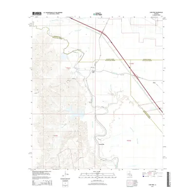
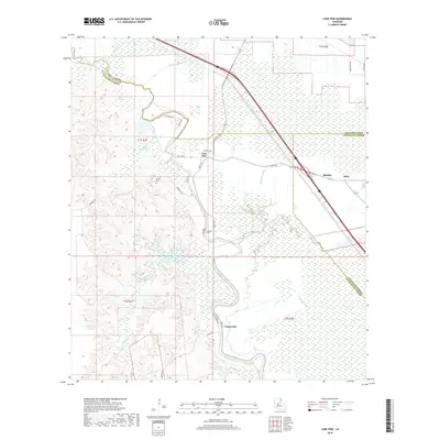
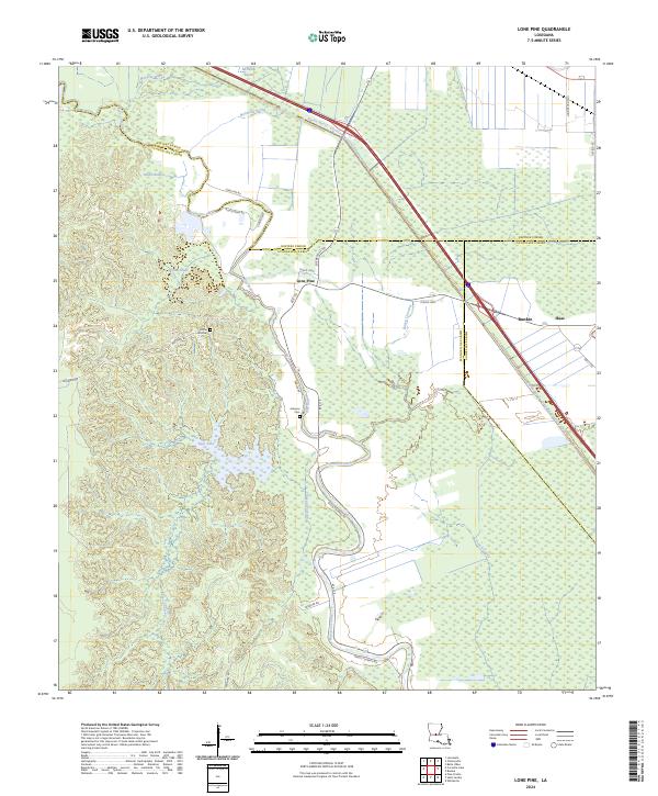
1967 Lone Pine
Evangeline Parish, LA
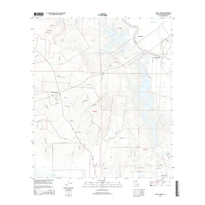
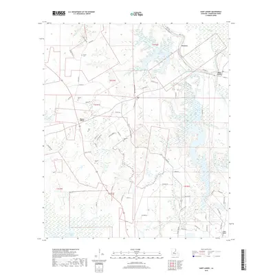
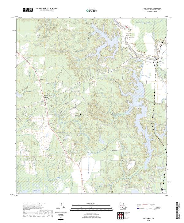
1967 St. Landry
Evangeline Parish, LA

1968 Beaver
Evangeline Parish, LA

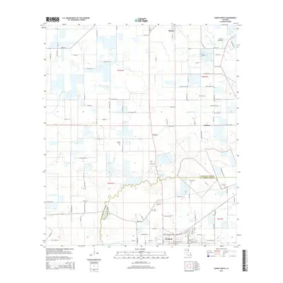
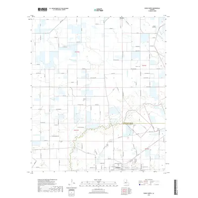
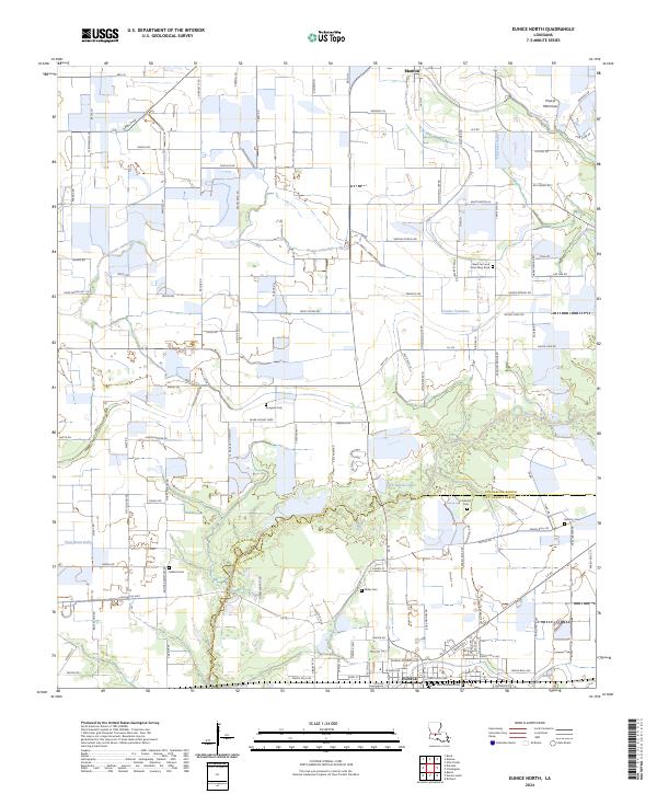
1983 Eunice North
Evangeline Parish, LA
1983 Tate Cove
Evangeline Parish, LA
1986 Bond
Evangeline Parish, LA
1986 Duralde
Evangeline Parish, LA
1998 Beaver
Evangeline Parish, LA
1998 Cocodrie Lake
Evangeline Parish, LA
2012 Beaver
Evangeline Parish, LA
2012 Bond
Evangeline Parish, LA
2012 Cocodrie Lake
Evangeline Parish, LA
2012 Duralde
Evangeline Parish, LA
2012 Eunice North
Evangeline Parish, LA
2012 Lone Pine
Evangeline Parish, LA
2012 Saint Landry
Evangeline Parish, LA
2012 Tate Cove
Evangeline Parish, LA
2015 Beaver
Evangeline Parish, LA
2015 Bond
Evangeline Parish, LA
2015 Cocodrie Lake
Evangeline Parish, LA
2015 Duralde
Evangeline Parish, LA
2015 Eunice North
Evangeline Parish, LA
2015 Lone Pine
Evangeline Parish, LA
2015 Saint Landry
Evangeline Parish, LA
2015 Tate Cove
Evangeline Parish, LA
2018 Beaver
Evangeline Parish, LA
2018 Bond
Evangeline Parish, LA
2018 Cocodrie Lake
Evangeline Parish, LA
2018 Duralde
Evangeline Parish, LA
2018 Eunice North
Evangeline Parish, LA
2018 Lone Pine
Evangeline Parish, LA
2018 Saint Landry
Evangeline Parish, LA
2018 Tate Cove
Evangeline Parish, LA
2020 Beaver
Evangeline Parish, LA
2020 Bond
Evangeline Parish, LA
2020 Cocodrie Lake
Evangeline Parish, LA
2020 Duralde
Evangeline Parish, LA

2020 Eunice North
Evangeline Parish, LA
2020 Lone Pine
Evangeline Parish, LA
2020 Saint Landry
Evangeline Parish, LA
2020 Tate Cove
Evangeline Parish, LA
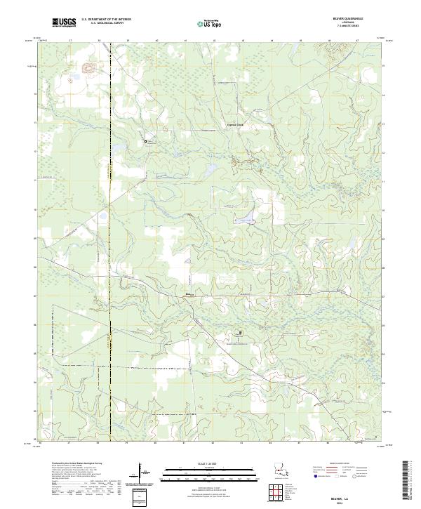
2024 Beaver
Evangeline Parish, LA
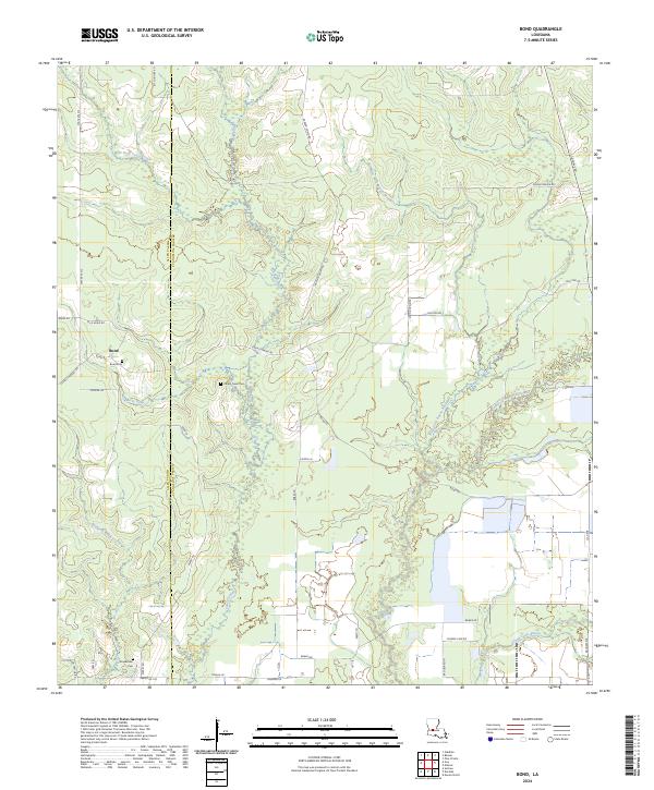
2024 Bond
Evangeline Parish, LA
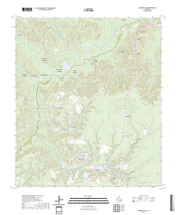
2024 Cocodrie Lake
Evangeline Parish, LA
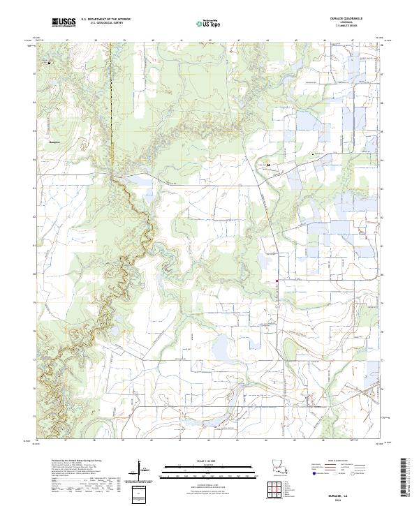
2024 Duralde
Evangeline Parish, LA
2024 Eunice North
Evangeline Parish, LA
2024 Lone Pine
Evangeline Parish, LA
2024 Saint Landry
Evangeline Parish, LA
2024 Tate Cove
Evangeline Parish, LA