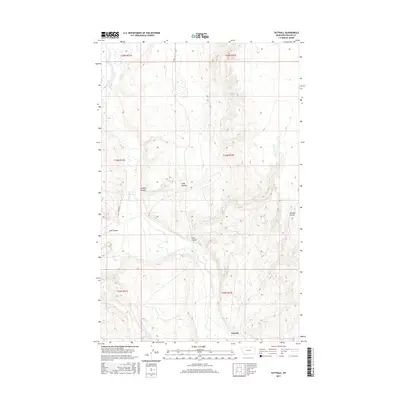
2017 Map of Tattnall
USGS Topo · Published 2017About this map
Tattnall anchors the southern portion of this landscape in Phillips County, Montana, situated amidst a complex network of seasonal drainages and cattle country. The terrain is defined by several prominent coulees that carve through the high plains, including Gregory Coulee and Coop Coulee to the north, and Clark Coulee near the center of the sheet. These geological features reflect the arid climate and the historical importance of finding water and sheltered passage in this part of the northern plains.
Find a feature on this map
13 named features on this map. Tap any name to fly to it.
Don’t see what you’re looking for? This feature index may not catch every label — zoom into the map to look around manually.
Map Details
Editions of this 2017 Tattnall Map
This is the sole edition of this map. No revisions or reprints were ever made.
Other maps of this area
1920 · Cowan
USGS Topo · 1:125,000

1954 · Glasgow
USGS Topo · 1:250,000

1957 · Glasgow
USGS Topo · 1:250,000

1958 · Glasgow
USGS Topo · 1:250,000
1968 · Tattnall
USGS Topo · 1:24,000
1968 · Hewitt Lake
USGS Topo · 1:24,000
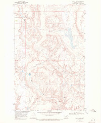
1968 · Austin Lake
USGS Topo · 1:24,000
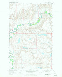
1968 · Hewitt Lake SW
USGS Topo · 1:24,000
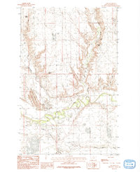
1984 · Cole
USGS Topo · 1:24,000
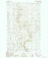
1984 · Whitewater East
USGS Topo · 1:24,000