
1958 Map of Tatum
USGS Topo · Published 1960About this map
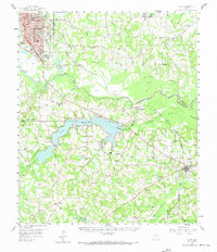
Longview dominates the northwest corner of this East Texas survey, showing the city's mid-century expansion including the Le Tourneau Tech Institute and the nearby County Airport. The landscape to the south and east is defined by the winding course of the Sabine River and the significant basin of Lake Cherokee, which serves as a major geographical anchor across the county lines of Gregg, Harrison, and Rusk.
Find a feature on this map
63 named features on this map. Tap any name to fly to it.
Don’t see what you’re looking for? This feature index may not catch every label — zoom into the map to look around manually.
Map Details
Editions of this 1958 Tatum Map
4 editions found
Other maps of this area

1935 · Henderson
USGS Topo · 1:48,000

1936 · Kilgore
USGS Topo · 1:48,000

1939 · Henderson
USGS Topo · 1:62,500

1940 · Kilgore
USGS Topo · 1:62,500

1956 · Tyler
USGS Topo · 1:250,000

1958 · Darco
USGS Topo · 1:62,500

1958 · Carthage
USGS Topo · 1:62,500

1960 · White Oak
USGS Topo · 1:24,000

1960 · Minden
USGS Topo · 1:62,500

1961 · Hallsville
USGS Topo · 1:24,000