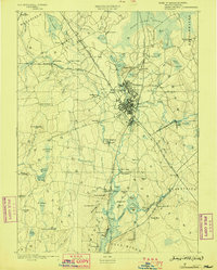
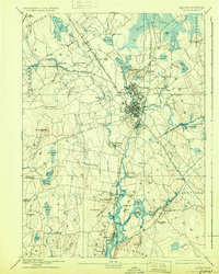
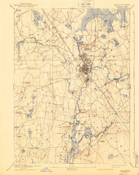
1893 Map of Taunton
USGS Topo · Published 1898About this map
The industrial hubs of Taunton and its northern villages of Whittenton and Britanniaville anchor this late-19th-century landscape, where the Old Colony Railroad Main Line serves as a vital transportation artery. The sheet reveals a dense network of river-driven industry and early rail infrastructure, including specialized stops like Crane's Station and the Mansfield Branch Old Colony Railroad. Beyond the urban centers, the map documents numerous small 19th-century settlements such as Barrowsville and the Copper Works village, while civil structures like the Almshouse and Swansea Factory provide clues into the social and manufacturing history of Bristol County.
Find a feature on this map
116 named features on this map. Tap any name to fly to it.
Don’t see what you’re looking for? This feature index may not catch every label — zoom into the map to look around manually.
Map Details
Editions of this 1893 Taunton Map
7 editions found

Other maps of this area

1885 · New Bedford
USGS Topo · 1:62,500

1885 · Abington
USGS Topo · 1:62,500

1885 · Middleboro
USGS Topo · 1:62,500

1885 · Taunton
USGS Topo · 1:62,500

1886 · Dedham
USGS Topo · 1:62,500

1887 · Franklin
USGS Topo · 1:62,500

1887 · Providence
USGS Topo · 1:62,500

1888 · New Bedford
USGS Topo · 1:62,500

1888 · Fall River
USGS Topo · 1:62,500

1888 · Taunton
USGS Topo · 1:62,500