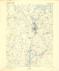
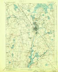
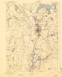
1893 Map of Taunton
USGS Topo · Published 1916About this map
The Taunton River serves as the central artery for this industrial corridor, winding through a landscape defined by 19th-century manufacturing and rail expansion. In the city of Taunton, a dense network of streets and rail spurs surrounds the Mill River confluence, marking the convergence of the Old Colony Railroad and several specialized branches. Smaller industrial enclaves such as Copper Works, Swansea Factory, and the Whittenton district reflect the era's reliance on water power and localized transit.
Find a feature on this map
113 named features on this map. Tap any name to fly to it.
Don’t see what you’re looking for? This feature index may not catch every label — zoom into the map to look around manually.
Map Details
Editions of this 1893 Taunton Map
7 editions found

Other maps of this area

1885 · New Bedford
USGS Topo · 1:62,500

1885 · Abington
USGS Topo · 1:62,500

1885 · Middleboro
USGS Topo · 1:62,500

1885 · Taunton
USGS Topo · 1:62,500

1886 · Dedham
USGS Topo · 1:62,500

1887 · Franklin
USGS Topo · 1:62,500

1887 · Providence
USGS Topo · 1:62,500

1888 · New Bedford
USGS Topo · 1:62,500

1888 · Fall River
USGS Topo · 1:62,500

1888 · Taunton
USGS Topo · 1:62,500