
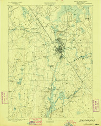
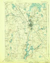
1893 Map of Taunton
USGS Topo · Published 1893About this map
The industrial and transportation hub of Taunton anchor this 1893 landscape, where the Old Colony Railroad Main Line and several branches intersect to serve a bustling manufacturing economy. The map documents the late nineteenth-century footprint of specialized industry, including the Copper Works near Burrowsville and the Swansea Factory in the south. These economic drivers were supported by a complex rail network with dedicated stops like Britanniaville Station and Cranes Station, alongside the river-borne trade centered at Weir.
Find a feature on this map
118 named features on this map. Tap any name to fly to it.
Don’t see what you’re looking for? This feature index may not catch every label — zoom into the map to look around manually.
Map Details
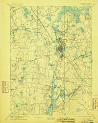
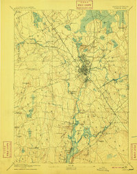
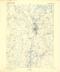
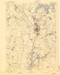
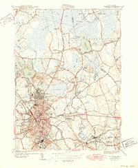
Editions of this 1893 Taunton Map
7 editions found
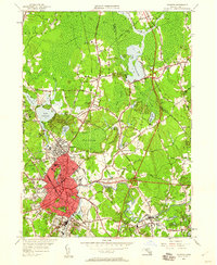
Historical Maps of Weir Village Through Time
12 maps found

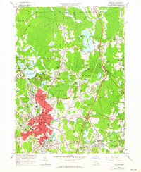
1885 Taunton
Bristol County, MA

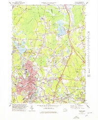
1888 Taunton
Bristol County, MA
1893 Taunton
Bristol County, MA

1918 Taunton
Bristol County, MA
1944 Taunton
Bristol County, MA
1949 Taunton
Bristol County, MA
1962 Taunton
Bristol County, MA

1977 Taunton
Bristol County, MA
1978 Taunton
Bristol County, MA

1979 Taunton
Bristol County, MA

1987 Taunton
Bristol County, MA
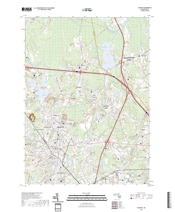
2024 Taunton
Bristol County, MA