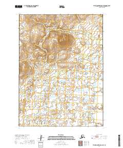
2019 Map of Taylor Mountains A-2 NE
USGS Topo · Published 2019About this map
Ethel Cr and Dixie Cr wind through this remote interior landscape within the Dillingham Census Area. This U.S. Geological Survey quadrangle reveals a land dominated by water and drainage patterns rather than human infrastructure, as the region lacks the roads or settlements typically found in more developed parts of the state. The hydrography, sourced from the National Hydrography Dataset, highlights the intricate network of streams and unnamed ponds that define the area. Positioned across the township lines of t2n r42w, t2n r41w, t1n r42w, and t1n r41w, the terrain is characterized by subtle elevation changes and the meandering paths of its namesake creeks. This data represents the landscape as it appeared in the early 21st century, providing a baseline for environmental and hydrological study in a region where natural features remain the primary landmarks.
Find a feature on this map
6 named features on this map. Tap any name to fly to it.
Don’t see what you’re looking for? This feature index may not catch every label — zoom into the map to look around manually.
Map Details
Editions of this 2019 Taylor Mountains A-2 NE Map
This is the sole edition of this map. No revisions or reprints were ever made.
Other maps of this area

1950 · Taylor Mountains
USGS Topo · 1:250,000

1951 · Taylor Mountains
USGS Topo · 1:250,000

1954 · Taylor Mountains
USGS Topo · 1:250,000
1954 · Taylor Mountains B-2
USGS Topo · 1:63,360

1954 · Taylor Mountains B-1
USGS Topo · 1:63,360

1954 · Taylor Mountains A-2
USGS Topo · 1:63,360
1954 · Taylor Mountains A-1
USGS Topo · 1:63,360
2019 · Taylor Mountains A-2 SE
USGS Topo · 1:25,000
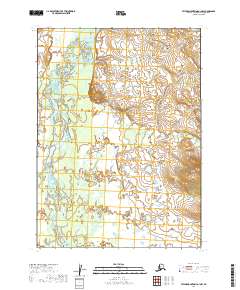
2019 · Taylor Mountains A-1 NW
USGS Topo · 1:25,000
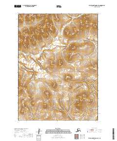
2019 · Taylor Mountains B-2 SE
USGS Topo · 1:25,000