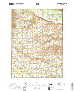
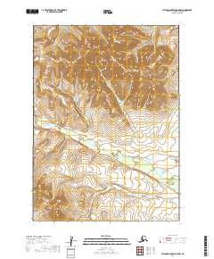
2019 Map of Taylor Mountains A-5 NE
USGS Topo · Published 2019About this map
Klutuspak Creek and the King Salmon River define the hydrography of this interior Alaskan landscape, which remains largely characterized by its natural water networks and section lines. This 2019 survey focuses on a remote portion of the Dillingham Census Area, showing the intricate path of Klutuspak Creek as it winds through the lower elevations of the quadrangle. The map is primarily organized by the Public Land Survey System, with township and range boundaries such as t1n r48w and t2n r47w providing the only structural framework across the terrain. For researchers, this document offers a detailed look at the drainage patterns and untouched topography of the Taylor Mountains region before any significant infrastructure or permanent settlement patterns are recorded.
Find a feature on this map
8 named features on this map. Tap any name to fly to it.
Don’t see what you’re looking for? This feature index may not catch every label — zoom into the map to look around manually.
Map Details
Editions of this 2019 Taylor Mountains A-5 NE Map
This is the sole edition of this map. No revisions or reprints were ever made.
Other maps of this area

1950 · Taylor Mountains
USGS Topo · 1:250,000

1951 · Taylor Mountains
USGS Topo · 1:250,000

1954 · Taylor Mountains
USGS Topo · 1:250,000

1954 · Taylor Mountains A-4
USGS Topo · 1:63,360

1954 · Taylor Mountains B-5
USGS Topo · 1:63,360

1954 · Taylor Mountains A-5
USGS Topo · 1:63,360
1954 · Taylor Mountains B-4
USGS Topo · 1:63,360
2019 · Taylor Mountains A-4 NW
USGS Topo · 1:25,000
2019 · Taylor Mountains A-5 SW
USGS Topo · 1:25,000
2019 · Taylor Mountains A-5 NW
USGS Topo · 1:25,000