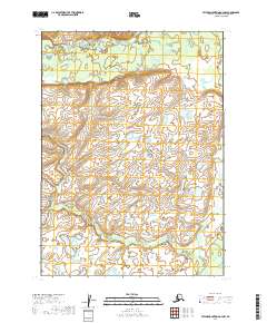
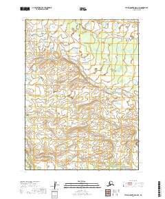
2019 Map of Taylor Mountains A-4 NW
USGS Topo · Published 2019About this map
The King Salmon River serves as a critical geographic marker in this study of the El Salto wastewater treatment plant between July 2017 and June 2018. While the facility utilizes an activated sludge process that successfully removes over 90% of organic matter and suspended solids, the data indicates significant struggles with nutrient reduction. Specifically, the levels of total phosphorus and fecal coliforms in the efluente frequently exceeded the limits established by the NOM-001-SEMARNAT-1996 standard for type B water bodies. This environmental assessment provides a detailed look at the infrastructure within the townships of t2n r47w, t2n r46w, t1n r47w, t1n r46w, and t1s r48w. The findings highlight the persistent challenges of managing industrial and municipal runoff in the region, offering a vital resource for those studying the intersection of urban development and water quality.
Find a feature on this map
6 named features on this map. Tap any name to fly to it.
Don’t see what you’re looking for? This feature index may not catch every label — zoom into the map to look around manually.
Map Details
Editions of this 2019 Taylor Mountains A-4 NW Map
This is the sole edition of this map. No revisions or reprints were ever made.
Other maps of this area

1950 · Taylor Mountains
USGS Topo · 1:250,000

1951 · Taylor Mountains
USGS Topo · 1:250,000

1954 · Taylor Mountains
USGS Topo · 1:250,000

1954 · Taylor Mountains A-4
USGS Topo · 1:63,360

1954 · Taylor Mountains B-5
USGS Topo · 1:63,360

1954 · Taylor Mountains A-5
USGS Topo · 1:63,360
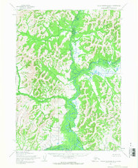
1954 · Taylor Mountains B-4
USGS Topo · 1:63,360
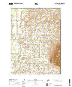
2019 · Taylor Mountains A-4 SE
USGS Topo · 1:25,000
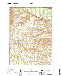
2019 · Taylor Mountains A-5 NE
USGS Topo · 1:25,000
2019 · Taylor Mountains A-5 SE
USGS Topo · 1:25,000