
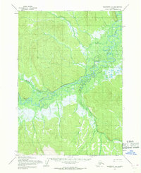
1954 Map of Taylor Mountains D-5
USGS Topo · Published 1968About this map
Kashegelok stands as a focal point along the winding Holitna River in this mid-1950s survey of the Alaska interior. The settlement pattern is sparse, defined by the isolated Cabin and the presence of a Cem near the riverbanks, suggesting a small but established subsistence community. The landscape is dominated by the confluence of major waterways, where the Chukowan River and Kogrukluk River meet the Holitna, creating a complex drainage system through the Nushagak Hills.
Find a feature on this map
14 named features on this map. Tap any name to fly to it.
Don’t see what you’re looking for? This feature index may not catch every label — zoom into the map to look around manually.
Map Details
Editions of this 1954 Taylor Mountains D-5 Map
This is the sole edition of this map. No revisions or reprints were ever made.
Other maps of this area

1950 · Sleetmute
USGS Topo · 1:250,000

1950 · Taylor Mountains
USGS Topo · 1:250,000

1951 · Taylor Mountains
USGS Topo · 1:250,000

1954 · Sleetmute
USGS Topo · 1:250,000

1954 · Taylor Mountains
USGS Topo · 1:250,000

1954 · Sleetmute A-5
USGS Topo · 1:63,360

1954 · Taylor Mountains D-6
USGS Topo · 1:63,360

1954 · Taylor Mountains C-4
USGS Topo · 1:63,360
1954 · Sleetmute A-4
USGS Topo · 1:63,360

1954 · Taylor Mountains D-4
USGS Topo · 1:63,360