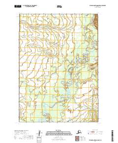
2019 Map of Taylor Mountains D-5 NW
USGS Topo · Published 2019About this map
The Holitna River winds through a complex network of wetlands and oxbow lakes in this remote interior landscape of Southwest Alaska. This 2019 survey captures the shifting hydrology of the river system as it meanders across the border between the Bethel Census Area and the Dillingham Census Area. The intricate drainage patterns of the Mukslulik Cr and the Kiknik Cr illustrate a subarctic wilderness defined by seasonal water movement and low-lying alluvial plains. Lacking roads or permanent settlements, the area's geography is purely dictated by its watercourses, providing a clear record of the natural topography before any modern infrastructure development reached this corner of the state.
Find a feature on this map
10 named features on this map. Tap any name to fly to it.
Don’t see what you’re looking for? This feature index may not catch every label — zoom into the map to look around manually.
Map Details
Editions of this 2019 Taylor Mountains D-5 NW Map
This is the sole edition of this map. No revisions or reprints were ever made.
Other maps of this area

1950 · Sleetmute
USGS Topo · 1:250,000

1950 · Taylor Mountains
USGS Topo · 1:250,000

1951 · Taylor Mountains
USGS Topo · 1:250,000

1954 · Sleetmute
USGS Topo · 1:250,000

1954 · Taylor Mountains
USGS Topo · 1:250,000

1954 · Sleetmute A-5
USGS Topo · 1:63,360

1954 · Taylor Mountains D-6
USGS Topo · 1:63,360

1954 · Taylor Mountains D-5
USGS Topo · 1:63,360

1954 · Sleetmute A-6
USGS Topo · 1:63,360
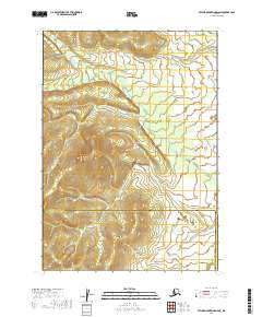
2019 · Taylor Mountains D-6 NE
USGS Topo · 1:25,000