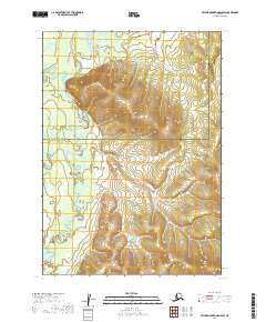
2019 Map of Taylor Mountains D-5 SW
USGS Topo · Published 2019About this map
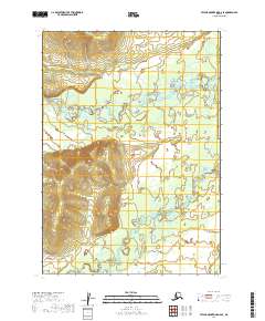
Kashegelok stands as a focal point in this 2019 survey of the remote Alaskan interior, situated near the confluence of major regional waterways. The landscape is defined by the winding course of the Kogrukluk River and the Holitna River, which snake through the western portion of the quadrangle. These rivers, along with the Chukowan River and Shotgun Creek, represent the primary natural corridors through a terrain marked by significant elevation changes, as indicated by the tight contour intervals. The map also delineates the administrative boundary between the Bethel Census Area and the Dillingham Census Area, reflecting the jurisdictional divisions of this sparsely populated wilderness. For researchers and geographers, the map provides a clear record of the hydrography and topography of the Taylor Mountains region at the end of the second decade of the 21st century.
Find a feature on this map
10 named features on this map. Tap any name to fly to it.
Don’t see what you’re looking for? This feature index may not catch every label — zoom into the map to look around manually.
Map Details
Editions of this 2019 Taylor Mountains D-5 SW Map
This is the sole edition of this map. No revisions or reprints were ever made.
Other maps of this area

1950 · Taylor Mountains
USGS Topo · 1:250,000

1951 · Taylor Mountains
USGS Topo · 1:250,000

1954 · Taylor Mountains
USGS Topo · 1:250,000

1954 · Taylor Mountains D-6
USGS Topo · 1:63,360

1954 · Taylor Mountains D-5
USGS Topo · 1:63,360
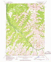
1954 · Taylor Mountains C-5
USGS Topo · 1:63,360

1954 · Taylor Mountains C-6
USGS Topo · 1:63,360
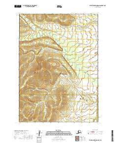
2019 · Taylor Mountains D-6 NE
USGS Topo · 1:25,000
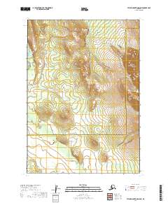
2019 · Taylor Mountains D-5 NE
USGS Topo · 1:25,000
2019 · Taylor Mountains D-6 SE
USGS Topo · 1:25,000