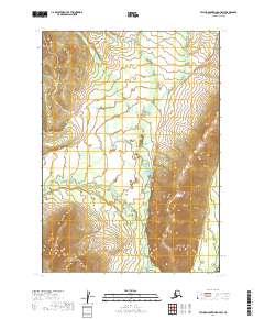
2019 Map of Taylor Mountains D-7 SW
USGS Topo · Published 2019About this map
Gemuk River and the Chukuwan River flow through this remote portion of the Dillingham Census Area, characterized by a complex drainage network in the Taylor Mountains region. The landscape is defined by the wandering path of Chikilulnuk Creek, which meanders through the central valleys alongside several unnamed tributaries. Topographical data from the U.S. Geological Survey reveals significant elevation changes, particularly where Enatalik Creek meets the surrounding slopes. The map traces the survey boundaries for townships including t9n r52w and t8n r53w, providing a precise look at the land division in this wilderness area at the end of the 2010s. This survey is primarily a study of natural hydrology and terrain, documenting the shifting watercourses before any major human infrastructure or settlement reached these high-latitude watersheds.
Find a feature on this map
9 named features on this map. Tap any name to fly to it.
Don’t see what you’re looking for? This feature index may not catch every label — zoom into the map to look around manually.
Map Details
Editions of this 2019 Taylor Mountains D-7 SW Map
This is the sole edition of this map. No revisions or reprints were ever made.
Other maps of this area

1950 · Taylor Mountains
USGS Topo · 1:250,000

1951 · Taylor Mountains
USGS Topo · 1:250,000

1954 · Taylor Mountains
USGS Topo · 1:250,000

1954 · Taylor Mountains D-8
USGS Topo · 1:63,360
1954 · Taylor Mountains C-7
USGS Topo · 1:63,360
1954 · Taylor Mountains D-7
USGS Topo · 1:63,360

1954 · Taylor Mountains C-8
USGS Topo · 1:63,360
2019 · Taylor Mountains C-8 NE
USGS Topo · 1:25,000
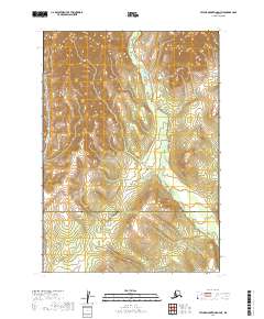
2019 · Taylor Mountains D-7 NE
USGS Topo · 1:25,000
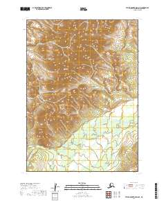
2019 · Taylor Mountains D-8 SE
USGS Topo · 1:25,000