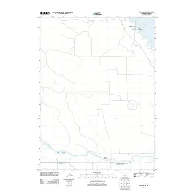
2011 Map of Taylor SE
USGS Topo · Published 2011About this map
The North Loup River meanders across the southern landscape of Loup County, defining a valley carved with numerous local landmarks including Leydell Canyon, McCord Canyon, and Bromwick Canyon. This 2011 survey illustrates the agricultural and recreational character of the region, where the Taylor-Ord Canal runs parallel to the river to support local irrigation needs. To the northeast, the shoreline of the Calamus Reservoir has fostered small residential and recreational clusters such as Aggies Acres, Mikes Meadows, and the Nunda Shoal Campground. The road network, including Calamus Dam Rd and Kent Rd, provides access to these water features and the rugged canyon breaks that characterize the transitions between the river valley and the surrounding Nebraska uplands.
Find a feature on this map
13 named features on this map. Tap any name to fly to it.
Don’t see what you’re looking for? This feature index may not catch every label — zoom into the map to look around manually.
Map Details
Editions of this 2011 Taylor SE Map
This is the sole edition of this map. No revisions or reprints were ever made.
Other maps of this area

1952 · Burwell
USGS Topo · 1:24,000

1952 · Sargent East
USGS Topo · 1:24,000

1952 · Taylor NW
USGS Topo · 1:24,000

1952 · Sargent West
USGS Topo · 1:24,000

1952 · Taylor SE
USGS Topo · 1:24,000

1952 · Comstock NW
USGS Topo · 1:24,000

1952 · Taylor
USGS Topo · 1:24,000

1952 · Burwell NW
USGS Topo · 1:24,000

1952 · Taylor NE
USGS Topo · 1:24,000

1955 · Broken Bow
USGS Topo · 1:250,000