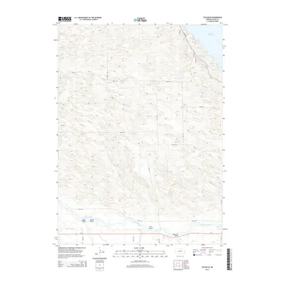
2014 Map of Taylor SE
USGS Topo · Published 2014About this map
The North Loup River valley dominates the southern portion of this Nebraska landscape, where the waters are managed and diverted through the Taylor-Ord Canal. The irrigation infrastructure and the presence of Ne-91 following the river’s southern bank underscore the agricultural necessity of water management in Loup County. North of the river, the terrain rises into a series of drainages, most notably Leydell Canyon, McCord Canyon, Bohys Canyon, and Bromwick Canyon.
Find a feature on this map
24 named features on this map. Tap any name to fly to it.
Don’t see what you’re looking for? This feature index may not catch every label — zoom into the map to look around manually.
Map Details
Editions of this 2014 Taylor SE Map
This is the sole edition of this map. No revisions or reprints were ever made.
Other maps of this area

1952 · Burwell
USGS Topo · 1:24,000

1952 · Sargent East
USGS Topo · 1:24,000

1952 · Taylor NW
USGS Topo · 1:24,000

1952 · Sargent West
USGS Topo · 1:24,000

1952 · Taylor SE
USGS Topo · 1:24,000

1952 · Comstock NW
USGS Topo · 1:24,000

1952 · Taylor
USGS Topo · 1:24,000

1952 · Burwell NW
USGS Topo · 1:24,000

1952 · Taylor NE
USGS Topo · 1:24,000

1955 · Broken Bow
USGS Topo · 1:250,000