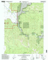
1994 Map of Taylorsville
USGS Topo · Published 1997About this map
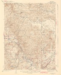
Taylorsville sits at the edge of Indian Valley, serving as a central hub for the surrounding timber and ranching landscape of Plumas County in the mid-1990s. The map illustrates a region defined by its industrial history and conservation, from the Mount Hough State Game Refuge in the southwest to the rugged peaks of Grizzly Mountain. High-elevation resource extraction is evident at sites like the King Solomon Mine and Taylor Diggings, while local community landmarks such as the Rodeo Grounds and Shim Flat Cem reflect the social fabric of these remote mountain valleys. The transition from the flat agricultural land of Genesee Valley to the steep slopes of Mount Jura highlights the varied topography that dictated local settlement patterns and the path of roads like Walker Mine Road.
Find a feature on this map
33 named features on this map. Tap any name to fly to it.
Don’t see what you’re looking for? This feature index may not catch every label — zoom into the map to look around manually.
Map Details
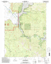
Editions of this 1994 Taylorsville Map
2 editions found
Other maps of this area

1886 · Honey Lake
USGS Topo · 1:250,000

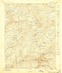
1891 · Downieville
USGS Topo · 1:125,000

1891 · Honey Lake
USGS Topo · 1:250,000

1893 · Honey Lake
USGS Topo · 1:250,000

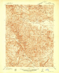
1893 · Downieville
USGS Topo · 1:125,000

1895 · Downieville
USGS Topo · 1:125,000

1896 · Downieville
USGS Topo · 1:125,000
1897 · Downieville
USGS Topo · 1:125,000
1937 · Blairsden
USGS Topo · 1:48,000
1943 · Blairsden
USGS Topo · 1:62,500