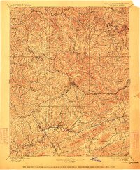
1897 Map of Tazewell
USGS Topo · Published 1912About this map
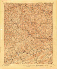
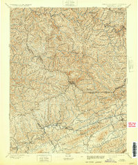
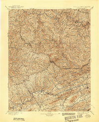
Tazewell and the surrounding coal-rich borderlands of Virginia and West Virginia are captured here in a late-19th-century survey. The landscape is defined by the heavy infrastructure of the Norfolk and Western RR, which follows the river valleys and connects industrial hubs like Welch, Richlands, and Cedar Bluff. This era shows the region in the midst of a rapid mining and timber transition, where established rural sites like Mc Neil Store and Shack Mills coexist with the growing rail-side settlements of Kimball, Vivian, and Roderfield.
Find a feature on this map
95 named features on this map. Tap any name to fly to it.
Don’t see what you’re looking for? This feature index may not catch every label — zoom into the map to look around manually.
Map Details
Editions of this 1897 Tazewell Map
8 editions found

Other maps of this area

1886 · Grundy
USGS Topo · 1:125,000

1887 · Warfield
USGS Topo · 1:125,000

1887 · Pocahontas
USGS Topo · 1:125,000

1889 · Wytheville
USGS Topo · 1:125,000

1890 · Grundy
USGS Topo · 1:125,000

1891 · Tazewell
USGS Topo · 1:125,000

1891 · Pocahontas
USGS Topo · 1:125,000

1891 · Oceana
USGS Topo · 1:125,000

1891 · Abingdon
USGS Topo · 1:125,000

1891 · Raleigh
USGS Topo · 1:125,000