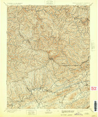
1897 Map of Tazewell
USGS Topo · Published 1932About this map
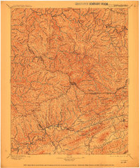
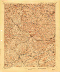
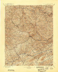
The Norfolk and Western RR cuts through the rugged Appalachian landscape of the late nineteenth century, following the courses of the Clinch River and Tug River. This topography is defined by the steep ridges of Indian Ridge and Stony Ridge, which dictated the early settlement patterns of the region. Major mountain gaps like Bill Young Gap and Gap of Sandy provided essential passage through the terrain for early roads and travelers.
Find a feature on this map
70 named features on this map. Tap any name to fly to it.
Don’t see what you’re looking for? This feature index may not catch every label — zoom into the map to look around manually.
Map Details
Editions of this 1897 Tazewell Map
8 editions found

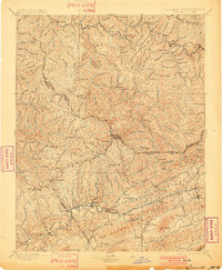
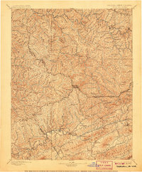
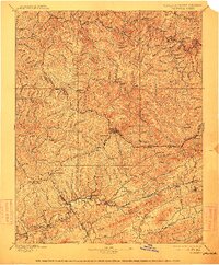
Other maps of this area

1886 · Grundy
USGS Topo · 1:125,000

1887 · Warfield
USGS Topo · 1:125,000

1887 · Pocahontas
USGS Topo · 1:125,000

1889 · Wytheville
USGS Topo · 1:125,000

1890 · Grundy
USGS Topo · 1:125,000

1891 · Tazewell
USGS Topo · 1:125,000

1891 · Pocahontas
USGS Topo · 1:125,000

1891 · Oceana
USGS Topo · 1:125,000

1891 · Abingdon
USGS Topo · 1:125,000

1891 · Raleigh
USGS Topo · 1:125,000