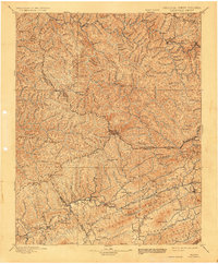
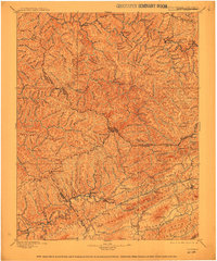
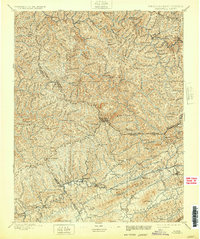
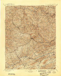
1897 Map of Tazewell
USGS Topo · Published 1932About this map
Tazewell and the industrial corridors of the Norfolk and Western RR anchor this late-nineteenth-century survey of the Appalachian Highlands. The landscape is defined by the winding course of the Tug River and the high ridges of Indian Ridge, where a network of small coal and rail settlements like Welch, Norwood, and Vivian began to take shape. Further south, the valley floors support agricultural and milling hubs, including Richlands, Cedar Bluff, and the riverside site of Shock Mills.
Find a feature on this map
60 named features on this map. Tap any name to fly to it.
Don’t see what you’re looking for? This feature index may not catch every label — zoom into the map to look around manually.
Map Details
Editions of this 1897 Tazewell Map
8 editions found

Other maps of this area

1886 · Grundy
USGS Topo · 1:125,000

1887 · Warfield
USGS Topo · 1:125,000

1887 · Pocahontas
USGS Topo · 1:125,000

1889 · Wytheville
USGS Topo · 1:125,000

1890 · Grundy
USGS Topo · 1:125,000

1891 · Tazewell
USGS Topo · 1:125,000

1891 · Pocahontas
USGS Topo · 1:125,000

1891 · Oceana
USGS Topo · 1:125,000

1891 · Abingdon
USGS Topo · 1:125,000

1891 · Raleigh
USGS Topo · 1:125,000