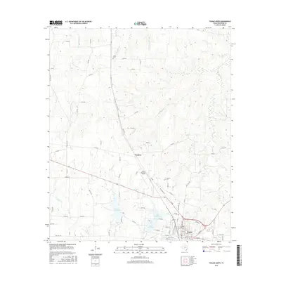
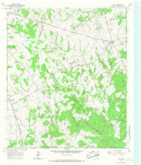
2016 Map of Teague North
USGS Topo · Published 2016About this map
Teague and the nearby community of Simsboro anchor this Freestone County landscape, where the local economy and geography are defined by a network of water and rail. The southern edge of the sheet shows the urban street grid of Teague, served by the BNSF Railway, which runs adjacent to industrial and municipal sites like the Teague Municipal Airport. Water management is a central theme, evidenced by Teague City Lake, Upper Club Lake, and Lower Club Lake, all fed by creeks such as Holman Cr and White Rock Cr. Genealogy interests are well-served by the presence of several historic burial grounds, including Shanks Cem to the north and Hopewell Cem and Antioch Cem further south. The map reveals a transition from the town's developed center to the rural surroundings, marked by a dense web of county roads and ranch-to-market routes like Ranch Rd 1366.
Find a feature on this map
91 named features on this map. Tap any name to fly to it.
Don’t see what you’re looking for? This feature index may not catch every label — zoom into the map to look around manually.
Map Details
Editions of this 2016 Teague North Map
This is the sole edition of this map. No revisions or reprints were ever made.
Other maps of this area
1919 · Fairfield
USGS Topo · 1:62,500
1920 · Mexia
USGS Topo · 1:62,500

1954 · Waco
USGS Topo · 1:250,000

1955 · Waco
USGS Topo · 1:250,000
1963 · Wortham
USGS Topo · 1:24,000
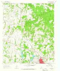
1963 · Teague North
USGS Topo · 1:24,000
1963 · Kirvin
USGS Topo · 1:24,000
1963 · Stewards Mill
USGS Topo · 1:24,000
1963 · Mexia
USGS Topo · 1:24,000
1965 · Dew
USGS Topo · 1:24,000