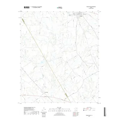
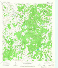
2019 Map of Teague South
USGS Topo · Published 2019About this map
Teague sits at the northern edge of this Freestone County landscape, where the street grid of the town center transitions into a network of country roads and winding creeks. The terrain is defined by the headwaters and drainages of multiple water systems, including Chambers Cr and Holman Cr, which carve through the countryside. Near the town limits, Greenwood Cem serves as a significant landmark for genealogical research. Further south, the settlement of Personville marks a crossroads near the confluence of local routes like FM 39. The map detail captures the rural character of the region, featuring distinctive landmarks such as Browns Lake and numerous named branches and creeks like Pinoak Cr and Mill Br that historically supported the local agricultural economy and settlement patterns along the Limestone County line.
Find a feature on this map
81 named features on this map. Tap any name to fly to it.
Don’t see what you’re looking for? This feature index may not catch every label — zoom into the map to look around manually.
Map Details
Editions of this 2019 Teague South Map
This is the sole edition of this map. No revisions or reprints were ever made.
Other maps of this area
1919 · Fairfield
USGS Topo · 1:62,500
1920 · Mexia
USGS Topo · 1:62,500

1954 · Waco
USGS Topo · 1:250,000

1955 · Waco
USGS Topo · 1:250,000
1956 · Jewett
USGS Topo · 1:62,500
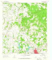
1963 · Teague North
USGS Topo · 1:24,000
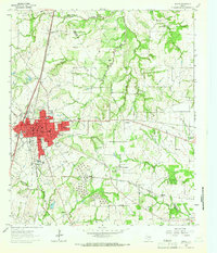
1963 · Mexia
USGS Topo · 1:24,000
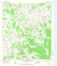
1965 · Dew
USGS Topo · 1:24,000
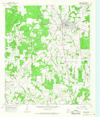
1965 · Fairfield
USGS Topo · 1:24,000
1965 · Donie
USGS Topo · 1:24,000