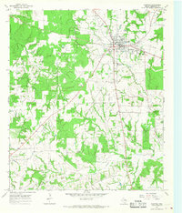
1965 Map of Fairfield
USGS Topo · Published 1968About this map
The town of Fairfield serves as the focal point of this mid-1960s survey, showing a landscape defined by the intersection of local infrastructure and agricultural space in Freestone County. Modern amenities of the era are evident in the presence of the County Hosp, the local Radio Tower, and social hubs like the Rodeo Ground and a Drive-in Theater located on the outskirts of the primary settlement. Education and community life are grounded by Dogan High Sch and Dogan Elem Sch, alongside several rural religious centers such as Jerusalem Ch and Post Oak Ch.
Find a feature on this map
26 named features on this map. Tap any name to fly to it.
Don’t see what you’re looking for? This feature index may not catch every label — zoom into the map to look around manually.
Map Details
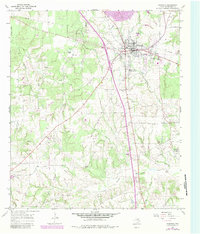
Editions of this 1965 Fairfield Map
2 editions found
Other maps of this area

1919 · Fairfield
USGS Topo · 1:62,500

1920 · Mexia
USGS Topo · 1:62,500

1954 · Waco
USGS Topo · 1:250,000

1955 · Waco
USGS Topo · 1:250,000

1961 · Young
USGS Topo · 1:24,000

1963 · Teague North
USGS Topo · 1:24,000

1963 · Kirvin
USGS Topo · 1:24,000
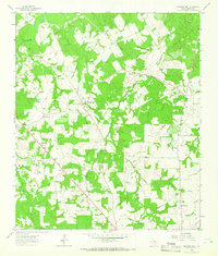
1963 · Stewards Mill
USGS Topo · 1:24,000

1965 · Dew
USGS Topo · 1:24,000
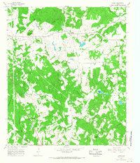
1965 · Lanely
USGS Topo · 1:24,000