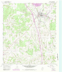
1965 Map of Fairfield
USGS Topo · Published 1983About this map
Fairfield serves as the focal point of this Freestone County study, showing the city's infrastructure during a period of transition in the mid-1960s with updates through the early 1980s. The landscape is marked by the significant path of Interstate 45 and an extensive network of pipelines that cut across the local drainage systems of Cottonwood Creek and Upper Keechi Creek. Cultural landmarks are prominent throughout the quadrangle, including the Dogan High Sch and Dogan Elem Sch within the city limits.
Find a feature on this map
32 named features on this map. Tap any name to fly to it.
Don’t see what you’re looking for? This feature index may not catch every label — zoom into the map to look around manually.
Map Details
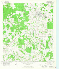
Editions of this 1965 Fairfield Map
2 editions found
Other maps of this area

1919 · Fairfield
USGS Topo · 1:62,500

1920 · Mexia
USGS Topo · 1:62,500

1954 · Waco
USGS Topo · 1:250,000

1955 · Waco
USGS Topo · 1:250,000

1961 · Young
USGS Topo · 1:24,000

1963 · Teague North
USGS Topo · 1:24,000

1963 · Kirvin
USGS Topo · 1:24,000
1963 · Stewards Mill
USGS Topo · 1:24,000

1965 · Dew
USGS Topo · 1:24,000
1965 · Lanely
USGS Topo · 1:24,000