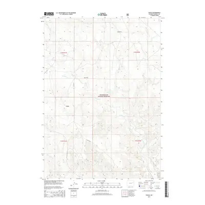
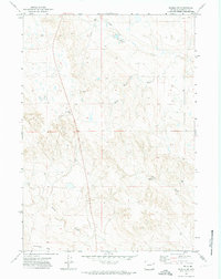
2015 Map of Teckla
USGS Topo · Published 2015About this map
Thunder Basin National Grassland dominates this portion of Campbell County, where the high plains are carved by an intricate network of intermittent drainages. The small settlement of Teckla sits near the western edge of the quadrangle, serving as a focal point for ranching operations in a landscape defined by seasonal watercourses like Porcupine Creek and Corder Creek. The terrain is characterized by a series of shallow valleys and topographical depressions, including Boss Draw and Olson Draw, which shape the local cattle-grazing land. Improved roads are sparse, with Antelope Road and Mackey Road providing the primary north-south corridors through the public and private tracts. This survey illustrates the modern layout of the Public Land Survey System across Townships 41 and 42 North, reflecting the enduring grid-based management of the Wyoming range.
Find a feature on this map
15 named features on this map. Tap any name to fly to it.
Don’t see what you’re looking for? This feature index may not catch every label — zoom into the map to look around manually.
Map Details
Editions of this 2015 Teckla Map
This is the sole edition of this map. No revisions or reprints were ever made.
Other maps of this area

1955 · Newcastle
USGS Topo · 1:250,000

1958 · Newcastle
USGS Topo · 1:250,000
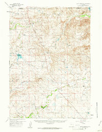
1959 · Betty Reservoir
USGS Topo · 1:62,500
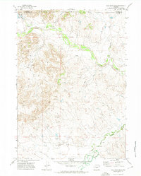
1971 · Coal Bank Draw
USGS Topo · 1:24,000
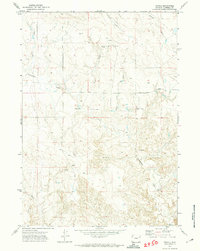
1971 · Teckla
USGS Topo · 1:24,000
1971 · Reno Reservoir
USGS Topo · 1:24,000
1971 · Piney Canyon SW
USGS Topo · 1:24,000
1971 · Piney Canyon NW
USGS Topo · 1:24,000
1971 · Little Thunder Reservoir
USGS Topo · 1:24,000
1971 · Teckla SW
USGS Topo · 1:24,000