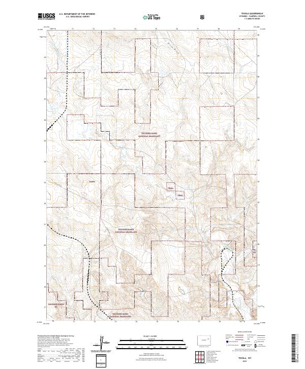
2021 Map of Teckla
USGS Topo · Published 2021About this map
The tiny settlement of Teckla sits within the expansive high-plains landscape of Campbell County, Wyoming, surrounded by the protected expanses of the Thunder Basin National Grassland. The topography here is defined by a dense network of intermittent drainages and draws that carve through the prairie, including Porcupine Cr, Gray Cr, and Horse Cr. These watercourses, along with terrain features like Olson Draw and Boss Draw, shaped the historical grazing patterns and ranching boundaries that still define the region today.
Find a feature on this map
19 named features on this map. Tap any name to fly to it.
Don’t see what you’re looking for? This feature index may not catch every label — zoom into the map to look around manually.
Map Details
Editions of this 2021 Teckla Map
This is the sole edition of this map. No revisions or reprints were ever made.
Other maps of this area

1955 · Newcastle
USGS Topo · 1:250,000

1958 · Newcastle
USGS Topo · 1:250,000

1959 · Betty Reservoir
USGS Topo · 1:62,500

1971 · Coal Bank Draw
USGS Topo · 1:24,000

1971 · Teckla
USGS Topo · 1:24,000

1971 · Reno Reservoir
USGS Topo · 1:24,000

1971 · Piney Canyon SW
USGS Topo · 1:24,000

1971 · Piney Canyon NW
USGS Topo · 1:24,000

1971 · Little Thunder Reservoir
USGS Topo · 1:24,000

1971 · Teckla SW
USGS Topo · 1:24,000