
1943 Map of Tehachapi
USGS Topo · Published 1943About this map
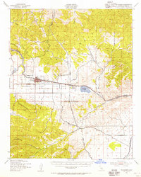
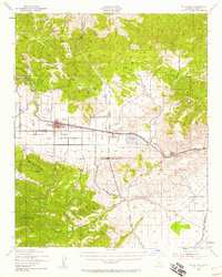
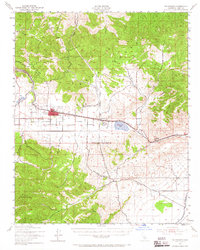
Industrial and agricultural development converges in the High Desert on this 1943 survey, centered on the strategic mountain passage of the Southern Pacific railroad. The town of Tehachapi is depicted alongside several family-run operations such as Hall Ranch and Meadowbrook Farm, reflecting the region's ranching roots. To the east, the Monolith and its adjacent Cement Plant highlight the importance of mineral extraction, supported by a known Cement Deposit and the Pine Tree Mine.
Find a feature on this map
43 named features on this map. Tap any name to fly to it.
Don’t see what you’re looking for? This feature index may not catch every label — zoom into the map to look around manually.
Map Details
Editions of this 1943 Tehachapi Map
4 editions found
Other maps of this area

1903 · Tejon
USGS Topo · 1:125,000

1914 · Caliente
USGS Topo · 1:125,000

1915 · Elizabeth Lake
USGS Topo · 1:125,000

1915 · Mojave
USGS Topo · 1:125,000

1917 · Elizabeth Lake
USGS Topo · 1:125,000

1943 · Rosamond
USGS Topo · 1:62,500

1943 · Cross Mountain
USGS Topo · 1:62,500

1943 · Emerald Mtn
USGS Topo · 1:62,500

1943 · Cummings Mountain
USGS Topo · 1:62,500

1943 · Breckenridge Mountain
USGS Topo · 1:62,500