
1905 Map of Tehama
USGS Topo · Published 1905About this map
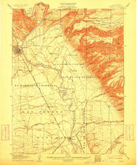
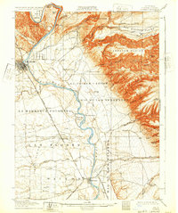
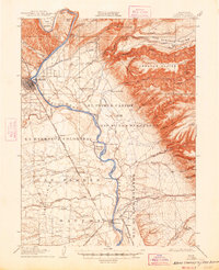
Red Bluff and the nearby town of Tehama anchor this 1903 survey of the northern Sacramento Valley, where the Sacramento River carves through a landscape of expansive plains and deeply etched gulches. The geography is defined by the heavy presence of water management and transit infrastructure at the turn of the century, including a flume and millrace system feeding local industry. The Southern Pacific railroad, following the Shasta Route, parallels the river, connecting the smaller settlements of Proberta, Rawson, and Sesma.
Find a feature on this map
86 named features on this map. Tap any name to fly to it.
Don’t see what you’re looking for? This feature index may not catch every label — zoom into the map to look around manually.
Map Details
Editions of this 1905 Tehama Map
4 editions found
Other maps of this area

1886 · Lassen Peak
USGS Topo · 1:250,000

1890 · Red Bluff
USGS Topo · 1:250,000

1891 · Chico
USGS Topo · 1:125,000

1892 · Lassen Peak
USGS Topo · 1:250,000

1893 · Chico
USGS Topo · 1:125,000

1894 · Lassen Peak
USGS Topo · 1:250,000

1894 · Red Bluff
USGS Topo · 1:250,000

1895 · Chico
USGS Topo · 1:125,000

1904 · Vina
USGS Topo · 1:62,500

1912 · Singer Creek
USGS Topo · 1:31,680