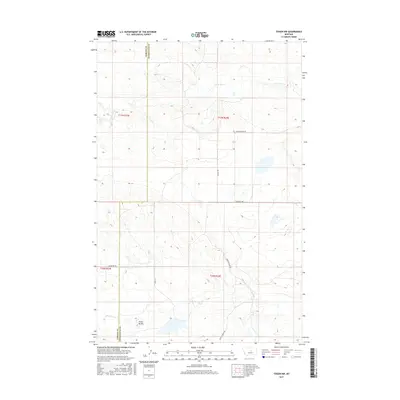
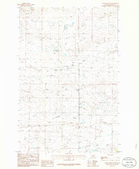
2017 Map of Teigen NW
USGS Topo · Published 2017About this map
Three Buttes stands as a prominent landmark in this segment of central Montana, where the boundary between Fergus Co and Petroleum Co bisects the prairie landscape. The area is defined by a network of seasonal watercourses and drainage systems, including the S Fork Bear Cr to the north and Fords Creek—also labeled as Fords Cr—to the south. Local transit is dictated by a grid of named rural routes such as Welter Divide Rd, Delany Rd, and Blakeslee Rd, which provide access to this ranching and agricultural region. The inclusion of Brickyard Cr and Duck Cr highlights the intricate local hydrography that has long influenced land use and settlement patterns along the county line.
Find a feature on this map
17 named features on this map. Tap any name to fly to it.
Don’t see what you’re looking for? This feature index may not catch every label — zoom into the map to look around manually.
Map Details
Editions of this 2017 Teigen NW Map
This is the sole edition of this map. No revisions or reprints were ever made.
Other maps of this area

1954 · Lewistown
USGS Topo · 1:250,000

1959 · Lewistown
USGS Topo · 1:250,000
1985 · Bear Creek Reservoir SE
USGS Topo · 1:24,000
1985 · Bear Creek Reservoir
USGS Topo · 1:24,000
1985 · Bohemian Corners
USGS Topo · 1:24,000
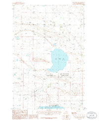
1986 · Wild Horse Lake
USGS Topo · 1:24,000
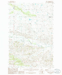
1986 · Briggs Coulee
USGS Topo · 1:24,000
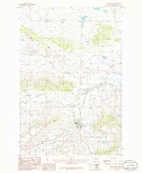
1986 · Grass Range
USGS Topo · 1:24,000
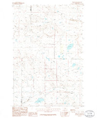
1986 · Teigen NW
USGS Topo · 1:24,000
1986 · Grass Range NE
USGS Topo · 1:24,000