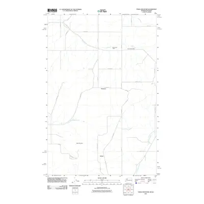
2011 Map of Tekoa Mountain
USGS Topo · Published 2011About this map
Tekoa Mountain dominates the southern landscape of this quadrangle on the border between Washington and Idaho. The terrain transitions from the high peaks into the productive Rock Creek Valley, where the watercourse of Rock Creek carves through the rolling agricultural lands. Small settlements such as Stringtown and Wallner serve as focal points for the rural road network, which is defined by family-named routes and established thoroughfares like S Idaho Rd and Star Rd.
Find a feature on this map
33 named features on this map. Tap any name to fly to it.
Don’t see what you’re looking for? This feature index may not catch every label — zoom into the map to look around manually.
Map Details
Editions of this 2011 Tekoa Mountain Map
This is the sole edition of this map. No revisions or reprints were ever made.
Other maps of this area

1903 · Oakesdale
USGS Topo · 1:125,000

1905 · Oakesdale
USGS Topo · 1:125,000

1954 · Fairfield
USGS Topo · 1:62,500

1955 · Spokane
USGS Topo · 1:250,000

1957 · Plummer
USGS Topo · 1:62,500

1957 · Tensed
USGS Topo · 1:62,500

1958 · Spokane
USGS Topo · 1:250,000

1964 · Oakesdale
USGS Topo · 1:24,000

1964 · Tekoa
USGS Topo · 1:24,000

1975 · Plummer NW
USGS Topo · 1:24,000