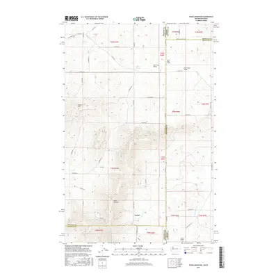
2017 Map of Tekoa Mountain
USGS Topo · Published 2017About this map
Tekoa Mountain dominates the southern landscape of this 2017 survey, marking a significant high point along the state line where Spokane and Whitman counties meet. The terrain is defined by dramatic elevation changes between several distinct watersheds, including the Rock Creek Valley to the north and the deep drainage of Little Hangman Cr near the southern border. The settlement of Wallner sits at the eastern base of the mountain, positioned along a network of rural routes such as Tekoa-Idaho Rd and Cove Rd that knit together the agricultural highlands.
Find a feature on this map
58 named features on this map. Tap any name to fly to it.
Don’t see what you’re looking for? This feature index may not catch every label — zoom into the map to look around manually.
Map Details
Editions of this 2017 Tekoa Mountain Map
This is the sole edition of this map. No revisions or reprints were ever made.
Other maps of this area
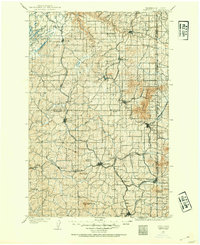
1903 · Oakesdale
USGS Topo · 1:125,000
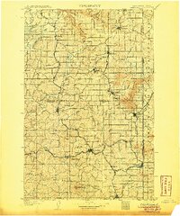
1905 · Oakesdale
USGS Topo · 1:125,000
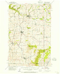
1954 · Fairfield
USGS Topo · 1:62,500
1955 · Spokane
USGS Topo · 1:250,000
1957 · Plummer
USGS Topo · 1:62,500
1957 · Tensed
USGS Topo · 1:62,500
1958 · Spokane
USGS Topo · 1:250,000
1964 · Oakesdale
USGS Topo · 1:24,000
1964 · Tekoa
USGS Topo · 1:24,000
1975 · Plummer NW
USGS Topo · 1:24,000