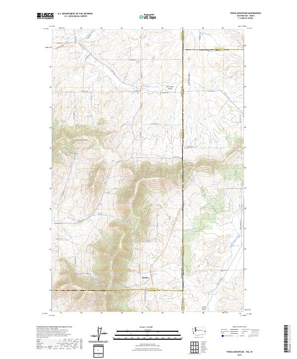
2023 Map of Tekoa Mountain
USGS Topo · Published 2023About this map
Tekoa Mtn and Gelbert Mtn dominate this landscape along the border of Washington and Idaho. The terrain transitions from these prominent summits down into the agricultural drainage of Rock Creek Valley and the southern reaches of Lovell Valley. Evidence of the region's transport history is found in the Palouse To Cascades State Park Trl, which follows a former rail corridor through the foothills. The settlement of Wallner sits at the base of the mountain slopes, surrounded by a network of rural roads such as S Starr Rd and E Powers Rd. Waterways like Little Hangman Creek and Cove Creek provide the primary drainage for the undulating hills that span from Spokane into Whitman and Benewah counties.
Find a feature on this map
58 named features on this map. Tap any name to fly to it.
Don’t see what you’re looking for? This feature index may not catch every label — zoom into the map to look around manually.
Map Details
Editions of this 2023 Tekoa Mountain Map
This is the sole edition of this map. No revisions or reprints were ever made.
Other maps of this area
1903 · Oakesdale
USGS Topo · 1:125,000
1905 · Oakesdale
USGS Topo · 1:125,000
1954 · Fairfield
USGS Topo · 1:62,500
1955 · Spokane
USGS Topo · 1:250,000
1957 · Plummer
USGS Topo · 1:62,500
1957 · Tensed
USGS Topo · 1:62,500
1958 · Spokane
USGS Topo · 1:250,000
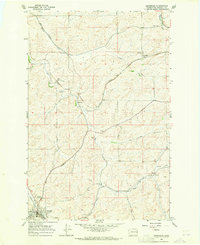
1964 · Oakesdale
USGS Topo · 1:24,000
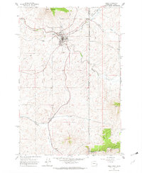
1964 · Tekoa
USGS Topo · 1:24,000
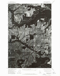
1975 · Plummer NW
USGS Topo · 1:24,000