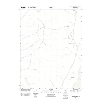
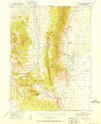
2012 Map of Telegraph Canyon
USGS Topo · Published 2012About this map
Flynn Ranch sits as a central landmark in this high-desert landscape of central Nevada, where water sources dictate the placement of human activity and cattle operations. The map reveals a network of vital watering points including Stimpson Spring, Flynn Ranch Springs, and the uniquely named Lake-Dou-Pah-Gade. These features are connected by rudimentary routes like Flynn Ranch to Telegraph Cyn, illustrating the historical reliance on established trails to navigate the basin and range terrain.
Find a feature on this map
17 named features on this map. Tap any name to fly to it.
Don’t see what you’re looking for? This feature index may not catch every label — zoom into the map to look around manually.
Map Details
Editions of this 2012 Telegraph Canyon Map
This is the sole edition of this map. No revisions or reprints were ever made.
Other maps of this area
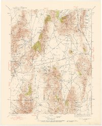
1926 · Roberts Mountains
USGS Topo · 1:250,000
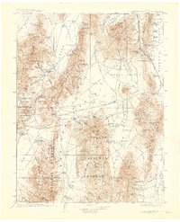
1929 · Roberts Mountains
USGS Topo · 1:250,000
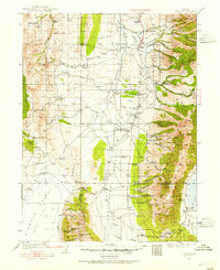
1934 · Jiggs
USGS Topo · 1:125,000
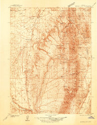
1937 · Mineral Hill
USGS Topo · 1:48,000
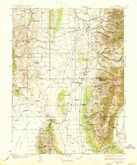
1937 · Jiggs
USGS Topo · 1:125,000
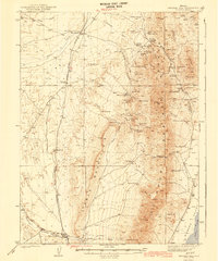
1943 · Mineral Hill
USGS Topo · 1:62,500
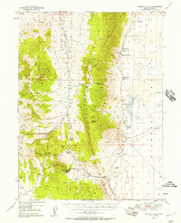
1949 · Garden Valley
USGS Topo · 1:62,500
1951 · Garden Valley
USGS Topo · 1:62,500

1955 · Millett
USGS Topo · 1:250,000

1955 · Winnemucca
USGS Topo · 1:250,000