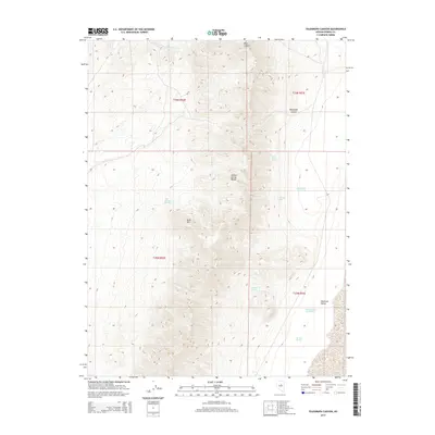
2014 Map of Telegraph Canyon
USGS Topo · Published 2014About this map
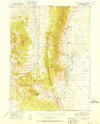
The Sulphur Spring Range dominates the western half of this Nevada landscape, a high-desert environment defined by its complex network of water sources. These vital points of interest, such as Simpson Spring and Flynn Ranch Springs, reveal the historic reliance on specific water rights in an arid territory. The terrain drops off sharply to the east into the broad expanse of Diamond Valley, where the alluvial fan geography is marked by individual water sources like Bennett Spring Number One. High-elevation landmarks including Bald Mtn and its associated Bald Mountain Spring provide topographic context for the numerous canyons cutting through the range, most notably Telegraph Canyon and Aiken Canyon. The mapping of these specific springs suggests a landscape utilized for ranching and grazing, where every named seep like Josephine Spring or Tunnel Spring served as a critical waypoint.
Find a feature on this map
18 named features on this map. Tap any name to fly to it.
Don’t see what you’re looking for? This feature index may not catch every label — zoom into the map to look around manually.
Map Details
Editions of this 2014 Telegraph Canyon Map
This is the sole edition of this map. No revisions or reprints were ever made.
Other maps of this area
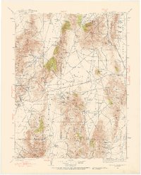
1926 · Roberts Mountains
USGS Topo · 1:250,000
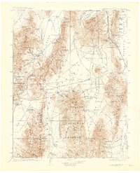
1929 · Roberts Mountains
USGS Topo · 1:250,000
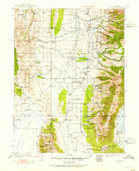
1934 · Jiggs
USGS Topo · 1:125,000
1937 · Mineral Hill
USGS Topo · 1:48,000
1937 · Jiggs
USGS Topo · 1:125,000
1943 · Mineral Hill
USGS Topo · 1:62,500
1949 · Garden Valley
USGS Topo · 1:62,500
1951 · Garden Valley
USGS Topo · 1:62,500

1955 · Millett
USGS Topo · 1:250,000

1955 · Winnemucca
USGS Topo · 1:250,000