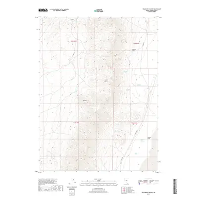
2018 Map of Telegraph Canyon
USGS Topo · Published 2018About this map
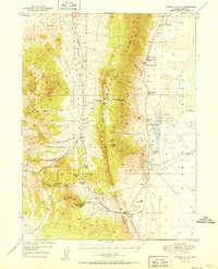
The Sulphur Spring Range dominates this central Eureka County landscape, defining a high ridge that separates the western basins from the eastern flats. This 2018 survey documents a remote mining and ranching geography where water sources are the primary indicators of human activity and land use. High-altitude landmarks like Bald Mtn and the namesake Telegraph Canyon are surrounded by a network of critical watering points, including Flynn Ranch Springs, Simpson Spring, and Josephine Spring. Historically significant mining operations are represented by the Diamond Mine, located in the rugged northern and eastern slopes. To the east, the terrain descends sharply into the Diamond Valley, where the isolated Lake Dou-Pah-Gade sits near the base of the mountains. Access to this high-desert environment is primarily via Saddler Brown Rd, tracing the transition from mountainous terrain to valley floor.
Find a feature on this map
20 named features on this map. Tap any name to fly to it.
Don’t see what you’re looking for? This feature index may not catch every label — zoom into the map to look around manually.
Map Details
Editions of this 2018 Telegraph Canyon Map
This is the sole edition of this map. No revisions or reprints were ever made.
Other maps of this area
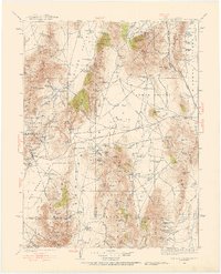
1926 · Roberts Mountains
USGS Topo · 1:250,000
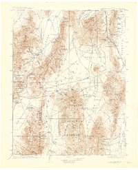
1929 · Roberts Mountains
USGS Topo · 1:250,000
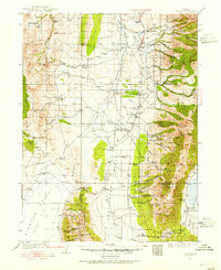
1934 · Jiggs
USGS Topo · 1:125,000
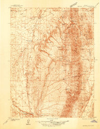
1937 · Mineral Hill
USGS Topo · 1:48,000
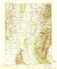
1937 · Jiggs
USGS Topo · 1:125,000
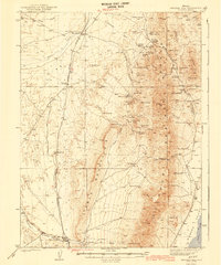
1943 · Mineral Hill
USGS Topo · 1:62,500
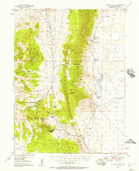
1949 · Garden Valley
USGS Topo · 1:62,500
1951 · Garden Valley
USGS Topo · 1:62,500

1955 · Millett
USGS Topo · 1:250,000

1955 · Winnemucca
USGS Topo · 1:250,000