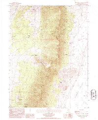
1986 Map of Telegraph Canyon
USGS Topo · Published 1986About this map
Sulphur Spring Range dominates this mid-1980s landscape, a rugged spine of central Nevada terrain that divides the western gulches from the broad expanse of Diamond Valley to the east. The map captures a high-desert environment where water sources like Josephine Spring, Tunnel Spring, and Corral Simpson Spring dictate the patterns of human activity and livestock management. This is evidenced by the presence of the Flynn Ranch and several stock tanks positioned near the valley floor.
Find a feature on this map
29 named features on this map. Tap any name to fly to it.
Don’t see what you’re looking for? This feature index may not catch every label — zoom into the map to look around manually.
Map Details
Editions of this 1986 Telegraph Canyon Map
This is the sole edition of this map. No revisions or reprints were ever made.
Other maps of this area

1926 · Roberts Mountains
USGS Topo · 1:250,000

1929 · Roberts Mountains
USGS Topo · 1:250,000

1934 · Jiggs
USGS Topo · 1:125,000

1937 · Mineral Hill
USGS Topo · 1:48,000

1937 · Jiggs
USGS Topo · 1:125,000

1943 · Mineral Hill
USGS Topo · 1:62,500

1949 · Garden Valley
USGS Topo · 1:62,500

1951 · Garden Valley
USGS Topo · 1:62,500

1955 · Millett
USGS Topo · 1:250,000

1955 · Winnemucca
USGS Topo · 1:250,000